Memories from April 26
Connor, Kate, Rip Snortin, and I were slow to leave Mike’s place in the morning. The upside was that Tom and Josh made pancakes and hash browns.
A few miles down the trail Kate got internet access, downloaded a new water report and informed us that Tule Spring was dry. This was bad because Connor and I only had water to make it to Tule Spring and the 15 miles following were marked as waterless. I went started rationing my water pretty aggressively. Tom had assures us that the water in the creek below Tule Spring was running strong. The water report was emphatic that it was not. I split from Connor and the Aussies since I could walk faster without sweating. The saving grace was that it wasn’t really that hot despite only having a weak breeze.
After a couple hours of walking and considering options, I came across some hikers headed the other direction. They were finishing a section that they’d been snowed out of during their thru-hike last year. They’d also passed Tule Spring a few hours before and seen a well stocked water cache!
There were other hikers at the cache who looked familiar from Mike’s but I hadn’t talked to. They moved on shortly after a round of introductions. I stayed to make sure Connor and the Aussies wouldn’t miss it.
While I was waiting and eating lunch, Tom Firth drove by on his ATV to refill the water jugs. He’s a retired electric lineman who now works with the Backcountry Horsemen and has been refilling the Tule Spring water cache twice a day. Recently, an expert was called in who discovered that the spring itself has gone dry as have many other springs in the area. The springs are fed from underground rivers fed by the Sierra snowpack which even in this El Niño year isn’t at 100% of historical average everywhere.

Connor and the Aussies showed up as did Scott, who I’d met the night before while he was in the middle of explaining Kelvins, and Miles. They’d been taking a siesta down by the remainder of the creek which Scott had been able to get a liter from though there hadn’t been much water.
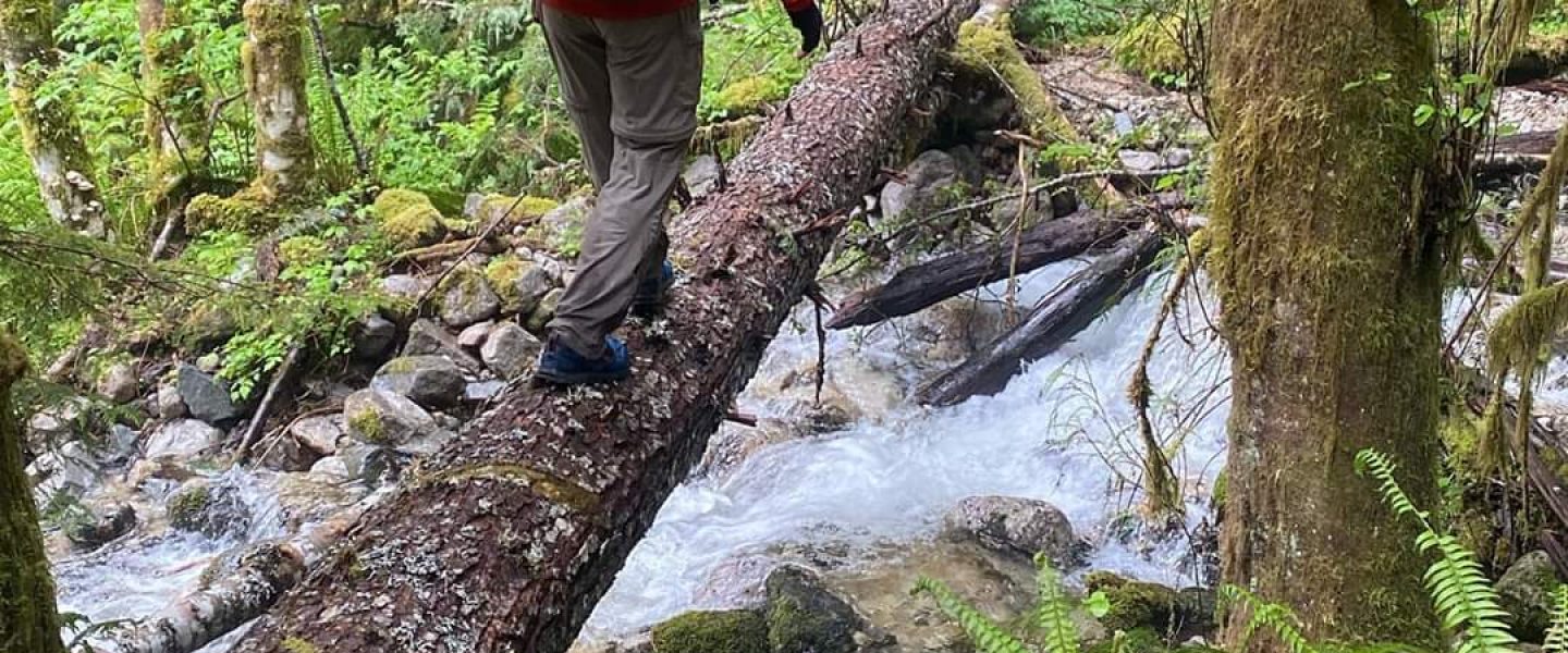
It looked like our initial plans to depart at 3pm after a siesta were going to be delayed so I headed out on my own. The seven-ish miles to some campsites among large boulders had a few other gems left by trail angels (see the note at the end if this panorama)
There were a number of half familiar faces among the boulders that night. I wound up making plans to head out the next morning with Scott and Frake (I Dutch spelled Freek). The trail is closed 10 miles after Highway 74 due to a fire and subsequent landslide a few years ago. We plan to take an alternate route which gets us as far as we can. The hope is to make all forward progress to Canada by foot and along the PCT when possible, hitchhiking only when we hitchhike back to the same place and keep walking.
