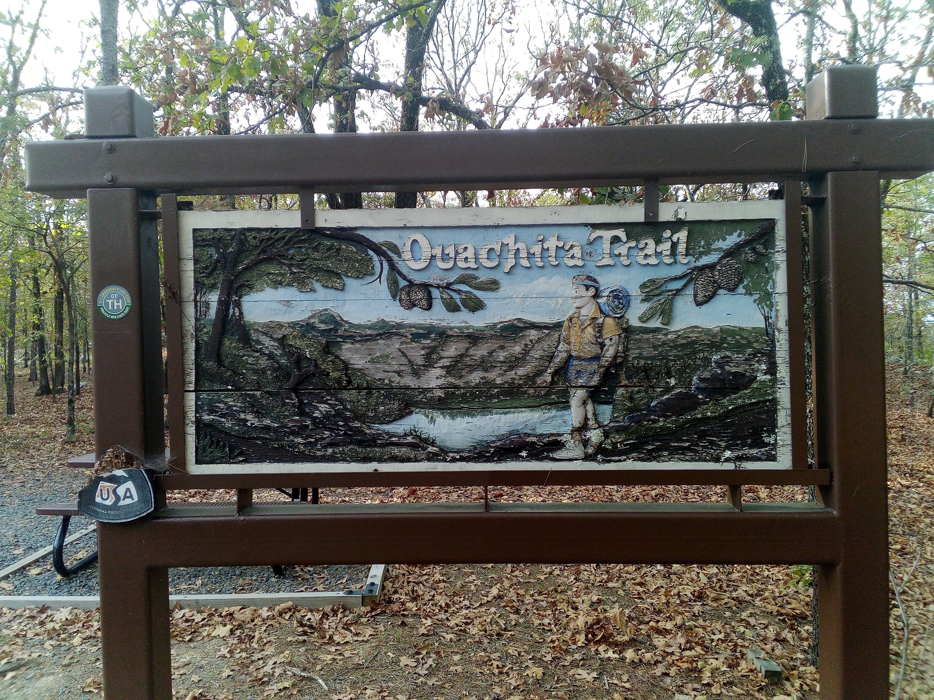
I hiked the Ouachita (“Wash-i-tah”) Trail on what might be called a whim. I’d wanted a week to myself and didn’t want to do much planning. I’d never been to Oklahoma or Arkansas and the weather looked better there than in Anchorage in the fall (the going wisdom in Anchorage is that if you went on vacation from Thanksgiving to Valentine’s day, you wouldn’t miss much). I was hoping to catch some fall colors as I’d been recovering from illness while colors changed at home. While pleasant and possessed at times of a calming beauty, my rushed walk lacked views and was beset with minor drama including the failure of most record keeping devices. I even left the maps which I’d been annotating with experiences and events on the airplane home. What’s left here is hastily reconstructed from memory and decorated with the few pictures from the cheap replacement phone I was able to pick up with help from a Lori, the angel in the tiny town of Story, two whom I’m deeply grateful.
I’d first heard about the Ouachita Trail on an episode of Backpacker Radio which I don’t really remember but rediscovered it when scanning Wikipedia’s list of long trails in the US, looking for something which would take about a week. For navigation, I printed ouachitamaps.com for topo maps on standard 8.5’x11′ instead of the recommended 11’x17′ and brought Bill Mooney’s data book for water and mileage markers. I didn’t read much about the trail besides this Treeline Review article. For resupply and logistics, I reached out to to Michael and Lori on FoOT’s Shuttle List (isn’t “FoOT” the best name for a trail related organization?). I checked the average weather for October and November and the 10 day forecast when that became available to decide how little gear I could bring (sunny & dry + trees + shelters –> poncho tarp!). More and better research wouldn’t have hurt but wasn’t necessary either. It’s fun to leave some things up for discovery.
Saturday, October 14, 2023
- Passed the rock garden shelter. “Rock garden” is an appropriate name. A light pack helped.
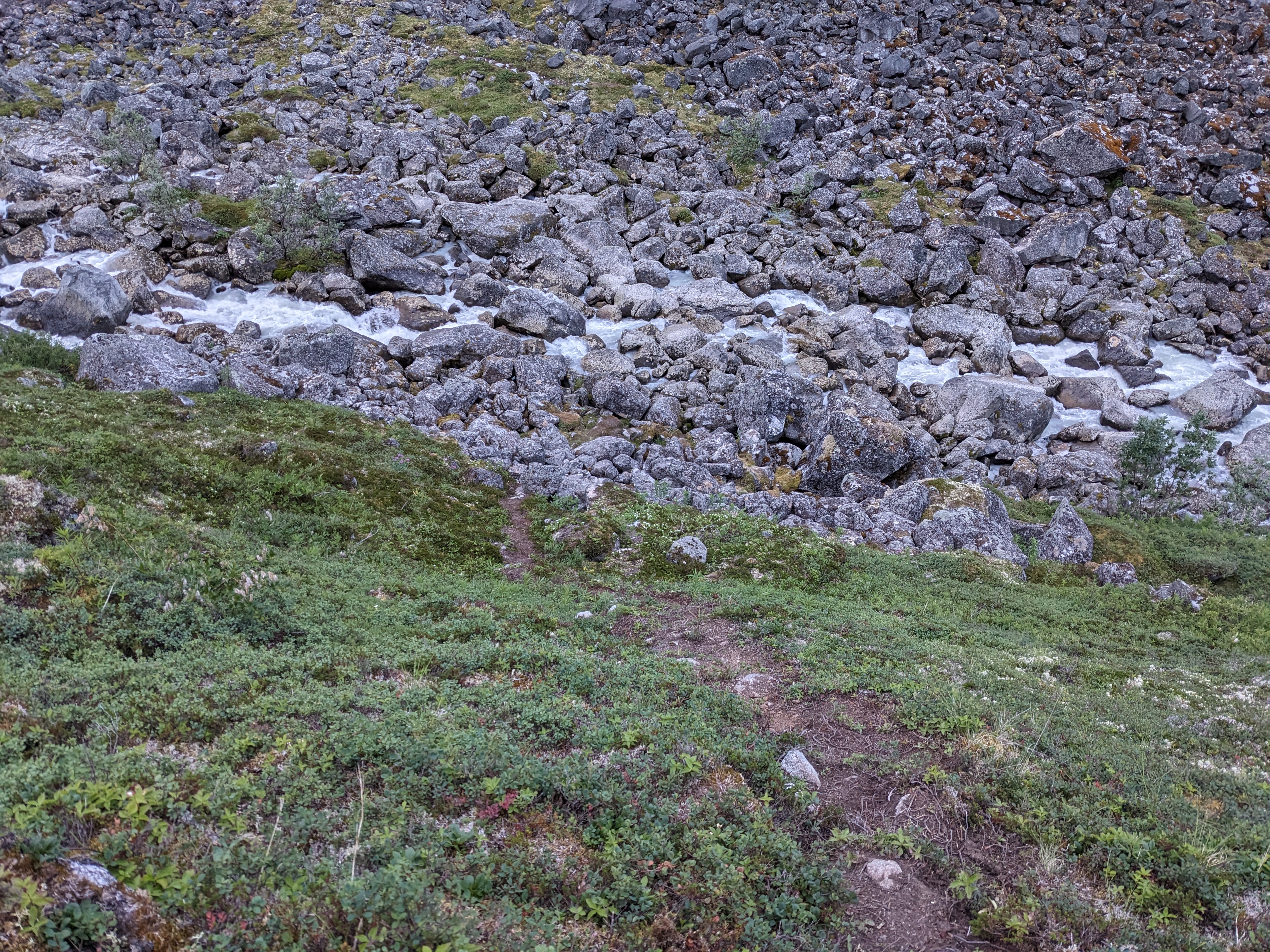
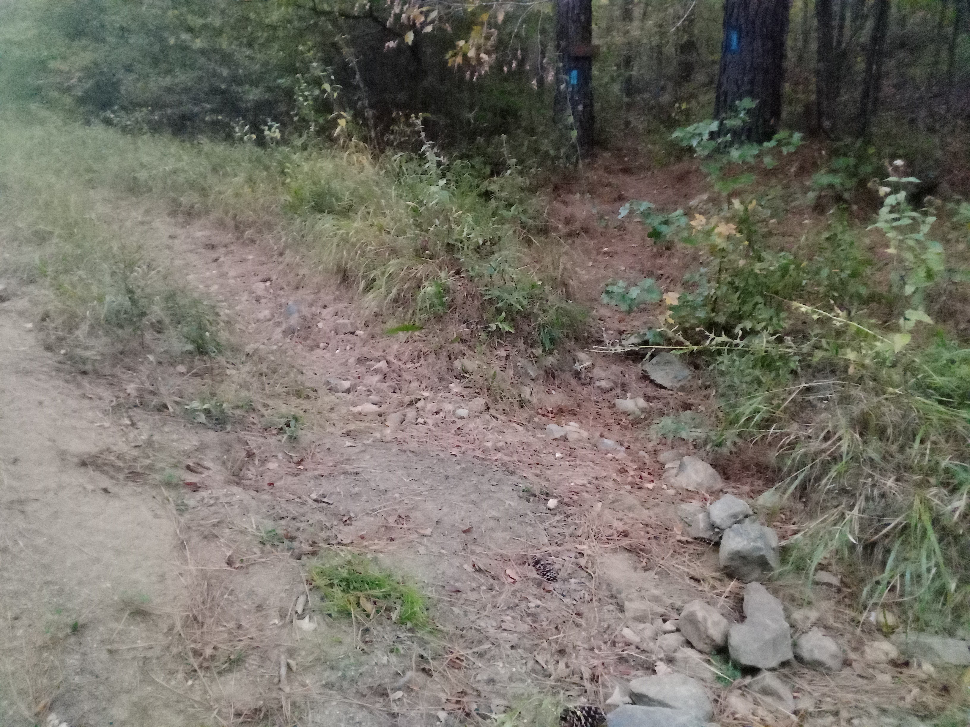
- Lost the trail a few times and had to search for up to ~3min, typically in places where it crossed a rock field or drainage and natural formations in the terrain mislead me on the other side. Blazes were very helpful but not always where I needed them most.
- Slept at Holson Vista shelter
- Vista was blocked by trees
- A tarp was conveniently placed over the open side of the shelter to block the continuous wind.
Sunday, October 15, 2023
- Water from Horse Thief Spring. Lower basin was clear. Upper basin was disgusting.
- Lots of ankle rippers. These are thin, low vines full of thorns which like to throw a branch out over the trail like a snare about ankle height. The worst is when vines from opposite sides cross because they catch on each other as you push through, dig in deeper, and try to trip you. My ankles are highly lacerated. Conditions improved a few miles before Winding Staircase Campground.
- Accidentally, went in to Winding Staircase CG. Asked for directions from a camper who recommended the Ozark Highlands Trail in the spring.
- No view from the top of the “mountain”, just a pile of rocks in the trees.
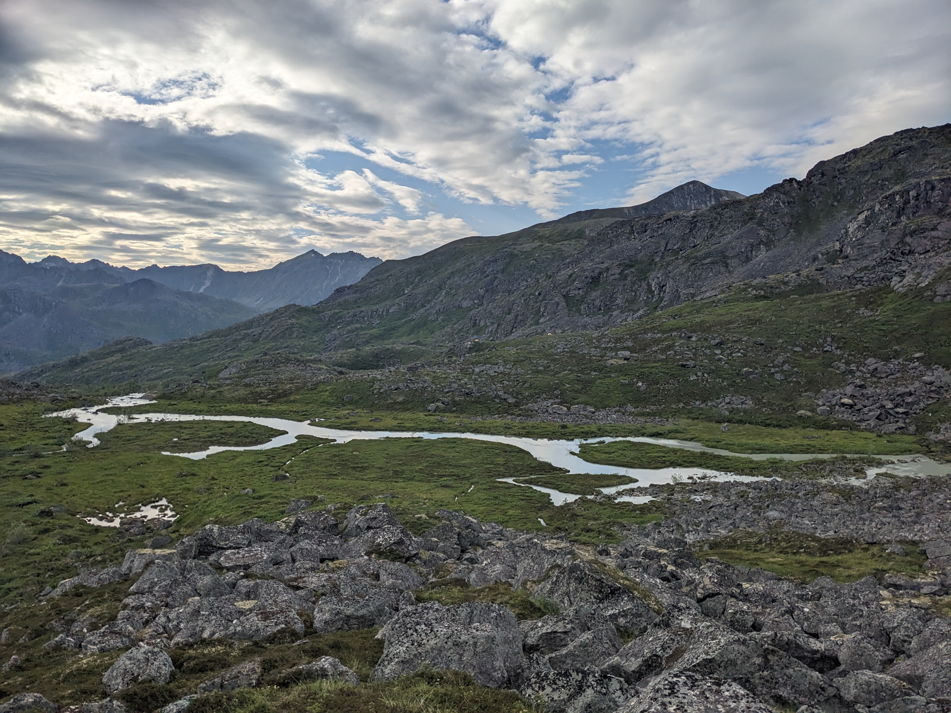
- Big Cedar had large pools. Tan and blue rock in the river bed contrasted nicely with the bright green foliage, speckled with red. It’s a curiousity of this trail that the most beautiful portions were where I collected water, not the hilltops or ridge walks.
- A little rain in the afternoon.
- Back side of Mt Wilmont needs some maintenance. It’s not hard to see that it would be less used since access from that side is more difficult. Surprisingly this wasn’t the case on the previous mountains
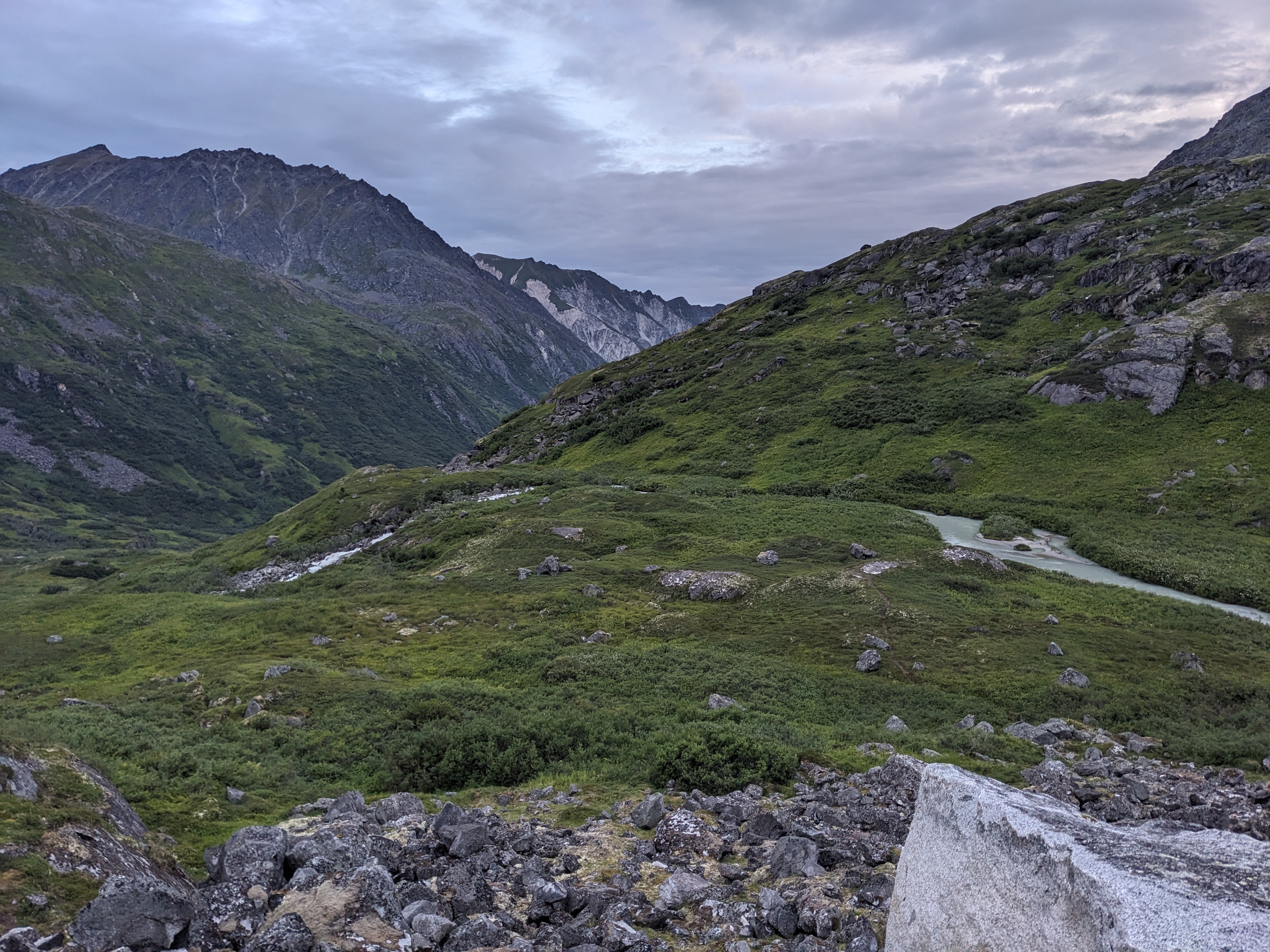
- Kiamichi river valley was the first cruisy walking of the whole trip. Until now, trail tread hasn’t been consistent.
- Couldn’t see the exit for the stream cross at mile 43 and a fallen tree made me think I was supposed to continue on the near bank to find the trail on the other side of it. Cue several minutes of searching. I actually walked the river bed looking for the crossing. This would have been tricky if there’d been water in it.
- Climb up to highway during sunset was beautiful. The mossy and lichen “popped”. The trail bed wasn’t always very visible so the rocks lining the way created something like a fairy path to guide me.
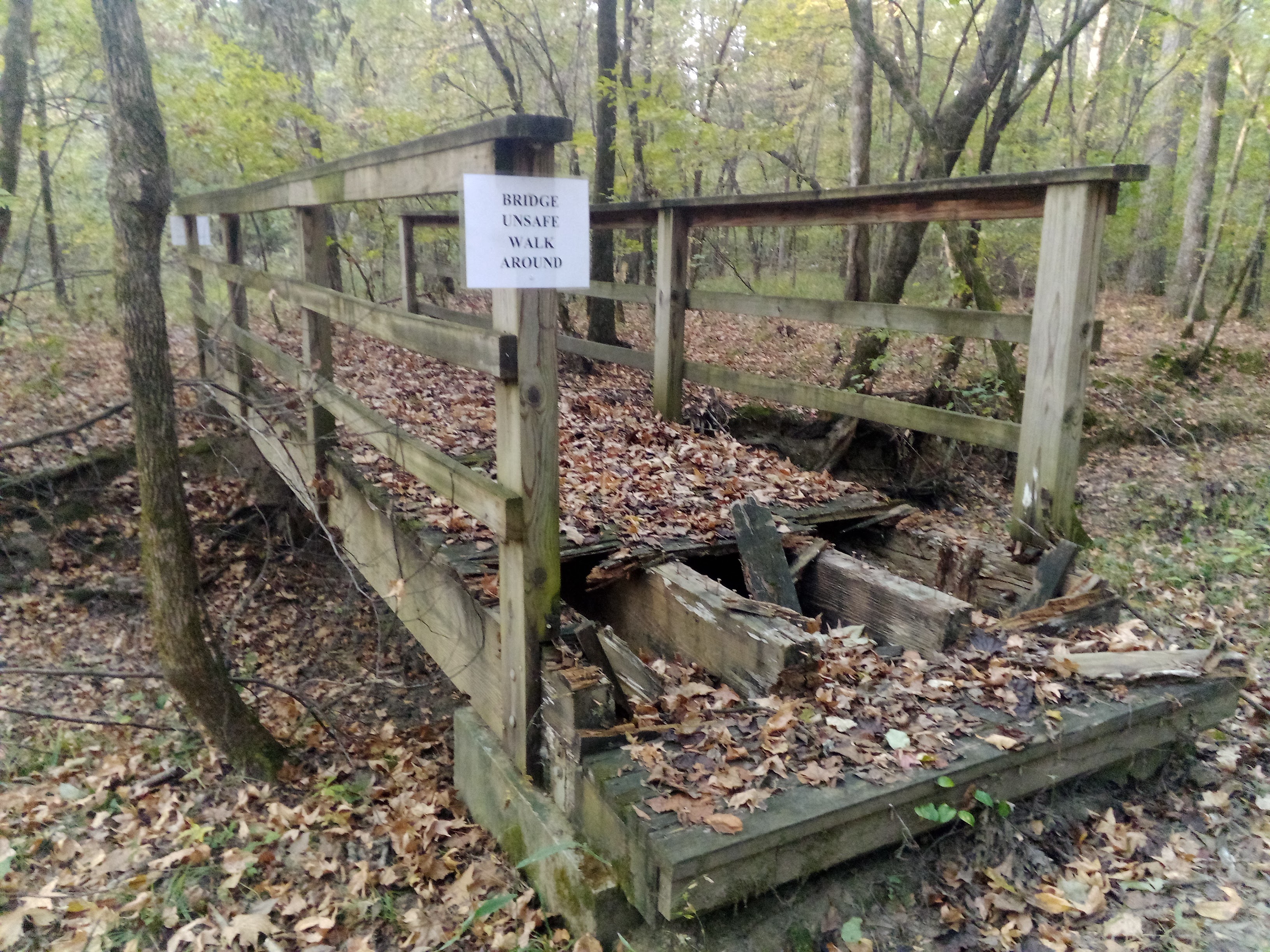
- There was an entry in the State Line Shelter guest book about a 15 year old hiking with their family and loosing grandma in the overgrown trail. They were also looking for bigfoot.
Monday, October 16, 2023
- Woke late because phone was in jacket pocket which was under quilt. Couldn’t hear alarm.
- There’s a graveyard for early American settlers shortly over the Arkansas border. Its tidy and names are on a kiosk even if you can’t read them on the headstones. It’s a nice connection to the people who started developing the area and which eventually lead to the creation of this trail. On the trip, I didn’t see much interpretive signage about native peoples where were here even earlier.
- Queen Wilhelmina lodge was underwhelming. The “queen’s plate” at the restaurant mostly came from a Sysco truck.
- My resupply box hadn’t arrived yet. Michael, who’d shuttled me from the Fort Smith airport, was very responsive in bringing it to me. I’d marked my ETA as a day later than planned because he told me about rocks in this section with the implication that my high mileage plans might not hold and I hadn’t wanted to look like I was ignoring him.
- The Lover’s Leap Overlook is the first real vista of the trail. It was pleasant but the low hills are mostly green still so it mostly looks like a green carpet.
- I’d hoped that the trail would improve in Arkansas or in Queen Wilhelmina State park. It didn’t. I didn’t want to stop since the 1hr resupply and 2hrs late start were going to put me behind on mileage for the day so at one point I found myself rock hopping with trekking poles in one hand and phone in the other while talking with Lydia.
- Eagle Gap was listed as a reliable water source. The stream was dry. I got lucky and spotted a small pool of water about 100yds upstream from the trail crossing. There were light game trails which I only spotted after the glint from the water caught my eye. Took 6L for the 36 miles until Big Brushy. This wound up being a very good decision but was very fortunate since I’d decided to try my luck at the next potential water source instead of going backwards ~5mi to where I’d last seen water.
- Late afternoon and early evening seemed to be traversing former forest roads (the trail corridor was wide enough, that seems the best explanation), connected by sections of single track and current forest road. I like the variety. The exit from the forest roads tends to be well marked which I appreciate since, lacking a GPX track, it would be easy to overshoot. While only a little overgrown, there are sections which seem to be returning to their natural state. It’s a pity because I get the sense that some of the single track had really nice rock work at one point.
- Slept around mile 74 just off a forest road. Soft ground and warm temps made for a pleasant night.
Tuesday, October 17, 2023
- Started before sunrise. Headlamp blinked out (it’s either all on or all off, no slow dimming as the battery dies) with just barely enough light to continue.
- Passed Lori’s creek in the dark. There might have been a slight shimmer of water. Glad I tanked up a Eagle Gap.
- Dropped my phone while getting a picture of some nice stonework in the trail. Two breaks in the front screen. Inside, the phone seems to still be working, but the screen is a bunch of green lines which don’t react to touch. I send an inReach message from Turner Gap so folks back home won’t expect as much contact.
- Lots of walking wide, forested ridges with views that you couldn’t really see through all the trees. The ankle rippers were particularly bad. The trail design still feels better than I’d thought from looking at the map, but it feels like we’re losing the trail. Things improve significantly around mile 80 and I can finally walk easily and let me mind wander for extended periods.
- The water at Turner Gap shelter was sludge slowly drying in an old tire track. Glad I’d tanked up at Eagle gap. The environment since had begun to feel drier in the past some miles. The trees are different, spaced a little farther apart, with less undergrowth.
- Took a Dr Pepper (which wasn’t warm!) and 3 small candy bars from an ammo box labeled Trail Magic near FR 48. It’s been a long time since I’ve experienced completely unexpected trail magic like that. Huge energy boost.
- Swam in a large pool just after the bridge across Big Brushy. The water wasn’t convenient to get to from the bridge and the campground was marked as closed so I didn’t want to waste time seeing if the pump still worked. Conveniently, the trail doubles back about a half mile after crossing and you just have to sneak though the brush for ~15 yards.
- Cooling provided an energy boost, though I was a bit chilled while filtering water afterwards. Sent an inReach message to Lydia then plugged the inReach into my power bank to top off its battery which was about half empty. The inReach’s screen turns off and won’t turn back on again. The emergency plan involves calling search and rescue the noon after a day on which I’ve not made contact. I’m resupplying tomorrow and the inReach had said the message was sent (I’d had to reposition it to get the message out), so it shouldn’t be a big problem as long as I can charge the inReach properly at the Bluebell Cafe.
- Met Jeff, and older fellow who is through-hiking in the opposite direction. We meet at a short section where the trail disappears and we’re both kinda guessing our way along. He says that the trail is good after the next ~100 yards and that water will be good at least as far as the resupply in Story, AR and that Lori at Bluebell is provides hikers a warm welcome. I tell him I wish I could say the same, show him my lacerated ankles, and tell him about the 36 mile water carry. He says he has those too and shows me his ankles. I think that trail ahead just can’t be as bad as it’s been previously but am concerned (this proves unfounded). He says he’s not sure what to do about water and that Michael might be able to help if he can’t figure something else out. Amiable parting followed by me immediately thinking of a bunch of other beta I wished I’d offered and questions I wanted to ask.
- Slept at Suck Mountain Shelter. It was surprisingly warm, must have been that cooler air sinks. The climb up to it is all forest road. In the dark, I was worried about missing a turn. I counted footsteps between blazes to avoid unfounded feelings of fear that I’d overshot something. Most blazes were <200 steps apart. I never got over 300 steps between seeing one.
- With no phone, I start writing memories from the day on my used maps in approximately the area where they happened. I like this more than typing up a list on my phone and I can do it with gloves on which keeps the fingers warm.
Wednesday, October 18, 2023
- Up just a little before sunrise. This morning is all about getting to Highway 27 to resupply. With no comms, I can’t arrange a ride and have to plan for walking 5mi to town. I’m concerned about making enough on-trail miles for the day but tell myself that as long as I get back on trail before night, I’ll be able to make them up later. Mostly I zone out and enjoy walking quickly through the dried leaves and pine needles.
- Almost no shoulder on highway. Not sure how many cars will come and not room to see me or stop. Decide to jog in to town. Downhill makes the start easy.
- Johnny Smith gives me a ride when I reach his place shortly after he passes me going much more slowly than the several Mack trucks which didn’t respond to my thumb.
- He lets me borrow his phone and I call Dad and then Lydia. Apparently the inReach messages never got out so they’d been worried. I tell them the plan is to charge the inReach, confirm it works, then get back on trail, but that I won’t get back on trail until making contact.
- In the Bluebell Cafe, my inReach doesn’t charge from the wall. After a meal, Lori (Bluebell’s proprietor) asks what my plan is. I tell her I’m hoping to get back on trail today, but need a phone. She asks if I need a fancy phone or a Dollar Store phone. She ends up driving me a town over where I get a cheap phone which takes a SIM card from my carrier. She’s patient while I get it set up and make contact with folks back home, then she takes me back to the trail. It was just after 2pm and I had plenty of time to make miles. This made the rest of the trip much, much more pleasant.
- I ask Lori about the history of the Bluebell cafe and connection to hikers. Apparently several previous owners had gone bankrupt. She took the place over from her mother who stopped wanting to operate it shortly after buying it. Lori left a good situation in Washington DC and it took a long time to be accepted by the locals. Initially employees would steal gas after hours so she doesn’t carry gas anymore. One day, temps were about freezing, and someone in shorts walked up to the cafe, ordered a burger, wouldn’t shut up about how good it was, and explained that they were hiking a trail just north of town. After that hiker finished the trail, they must have told others since someone called her to arrange a supply. That hiker explained that she could help out her business by offering shuttle and lodging services. She decided that not to charge as long as hikers eat at her cafe. It was a new revenue sources, came during the slow season (the Ouachita can be hiked through the winter), and wound up helping her save the business. Hikers get the word out and she’s never had a bad experience with one.
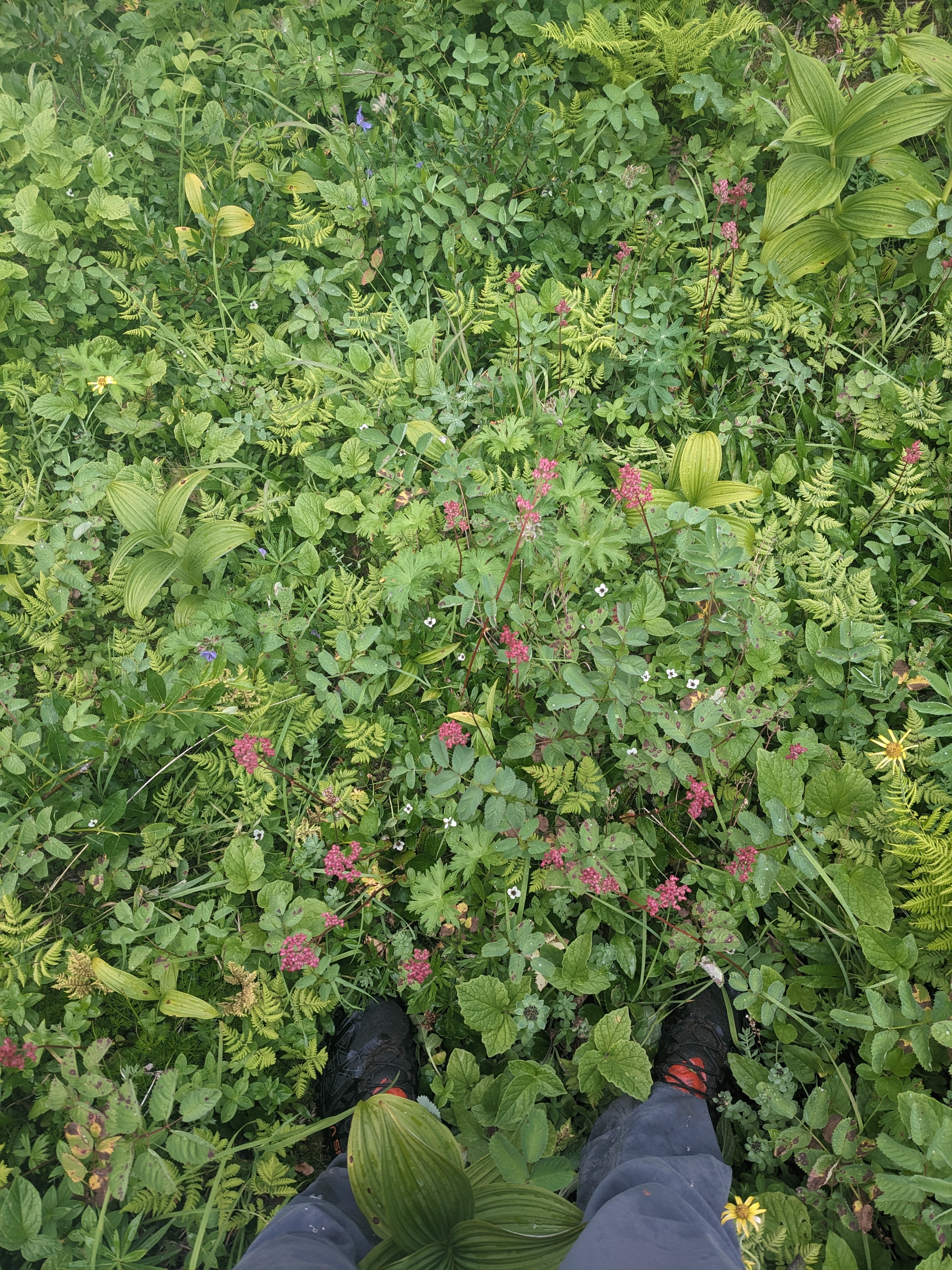
- Now that I had a camera on the phone, I could start taking pictures.


- Slept in the Big Branch shelter. It’s probably half a mile steeply down below the trail, accessed by some switch backs, a former forest road, and some single track which crosses a stream bed which was disconcertingly dry. I’d picked Big Branch shelter as the day’s destination for the reliable water source. Exploring a little by headlamp (as a guestbook entry from Friday, October 13, noted, the place is “spooky”), I did find some pools of water in the streambed nearby. The land was flat and so easy to get lost. Despite having gone less than 50 yards from the shelter, I had left several markers to find my way back and was well served by them. On the way back, I couldn’t see the shelter until I was about 10 yards away. Night changes so much.
Thursday, October 19, 2023
- Had a little trouble finding the trail from the shelter in the morning. Wandered around very slowly by headlamp in approximately the correct direction until I found a blaze. The Big Branch shelter is a little spooky.
- This was a hard day to get motivated since I didn’t have an immediately pressing objective. By 10:30am, I was behind schedule and it seemed unlikely I’d make my mileage goal for the day. I stopped at the Blue Mountain shelter, looked at goals for the day and tried to get myself motivated. It kinda worked.
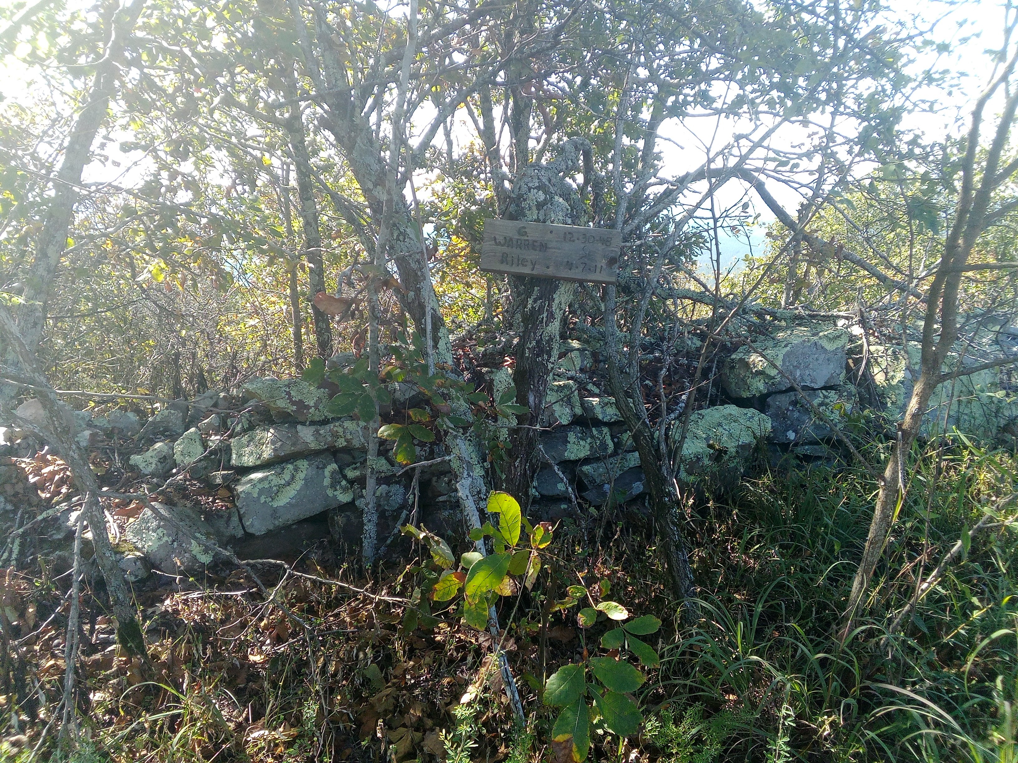
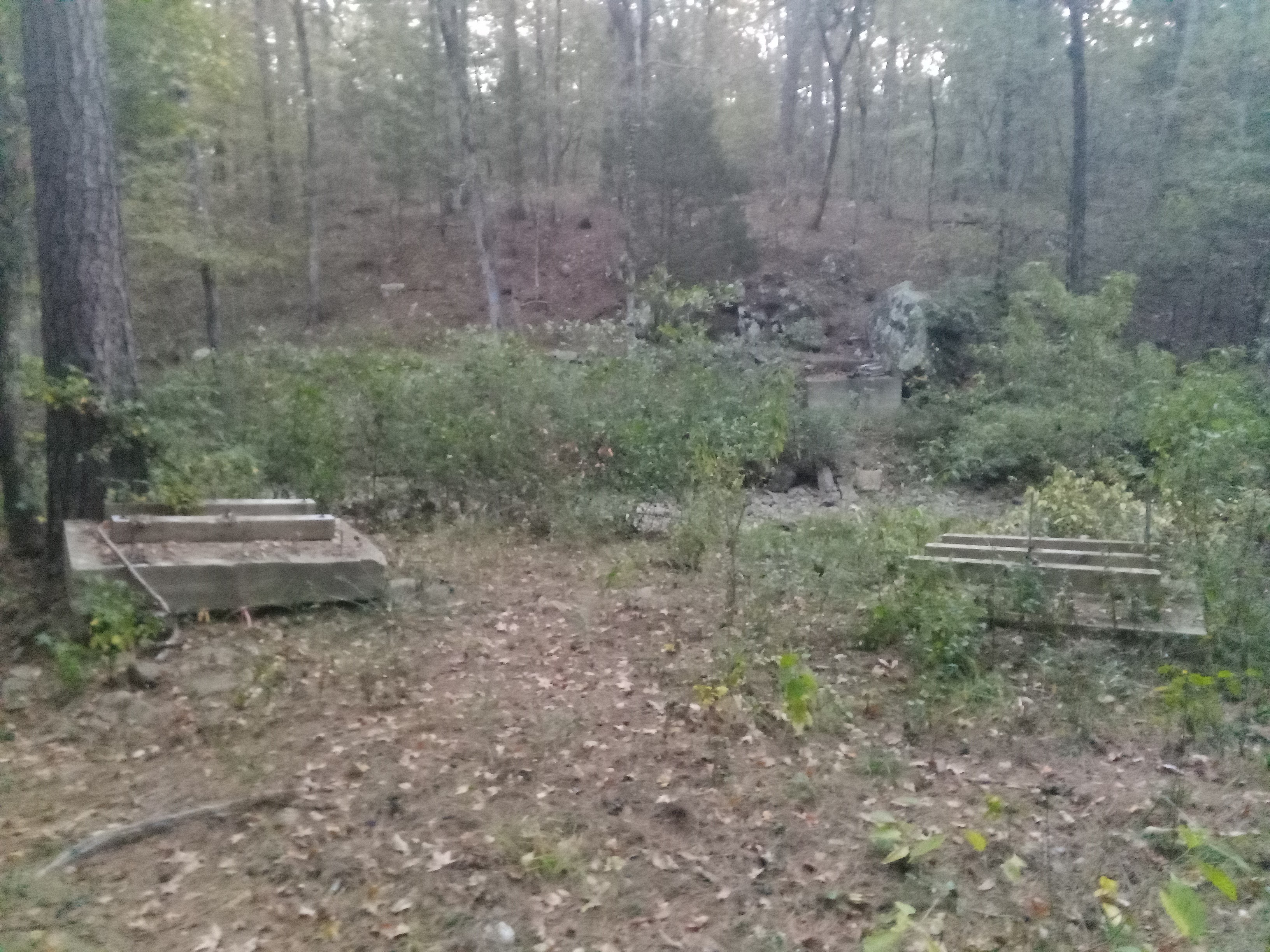
- Ouachita Pinnacle is an industrial site with two radio towers and a gravesite with a wood headboard tacked to a tree. The only view is from where the power or phone lines come up through a cut in the trees.
- I saw a tarantula on the trail. I’ve never seen one in the wild before so that was exciting. Even the normal spiders out here seem to be pretty large. It’s pretty common that I’ll be walking along and suddenly realize there’s a spider the size of a quarter is sitting at eye level in the middle of a web it’s spun across the trail.

- On a descending, abandoned forest road, met an West-bound through-hiker named Keenan. He gave me a whale sticker for my water bottle saying it was negative weight for all the joy it’d bring me. He’d had some water scares and was choosing to always keep all of his bottles loaded at every source. I chose to carry an extra liter for a while, but there seemed to be so much water that eventually I decided to stop this. It almost caused a problem at Highway 7 where I was expecting water, and like Eagle Gap, after some walking along a dry streambed, found a small pool almost by accident. There was a frog in it and some minnows, probably trapped as the stream dried up, but after filtering, it was clear and tasty.

- I’d been talking with Lydia by phone before the descent to Highway 7. Service was spotty and I told her I’d call back from the highway. There’s been service everywhere so I didn’t think that there might not be at the road until it was clear that there wasn’t. Given the comms issues I’d had earlier in the trail, I wanted to not leave her wondering what happened, and so charged up hill for the next several miles, finally finding the motivation which had been so lacking in the morning. Sugar creek was a beautiful rocky drainage which the trail winds its way along in that section. In the fading light, the small pools of water in the rock cisterns might have made for one of the prettiest bits of a trail which so rarely uses single-track to explore unique features for the sake of variety. I didn’t linger and wound up hiking the last mile and a half to the Oak Mountain Shelter in the dark after seeing three white tailed deer at a forest road crossing. This wound up being the easiest night hike of the trip. There was cell service at the shelter.
Friday, October 20, 2023
- I started out from the shelter with a quarter liter of water and was expecting to fill up just two miles into the day when I ran across Bill, westbound, who is hiking a flip-flop. His car is in Story, AR and Lori is shuttling him to each end of the trail at which point he hikes back to the middle. He had pictures of all the water sources until the west end of the trail annotated with their mileage numbers. I never did see Green Thumb spring which is where I was intending to fill up but instead of panicking, I knew I could just keep walking and found a cow pond shortly thereafter.

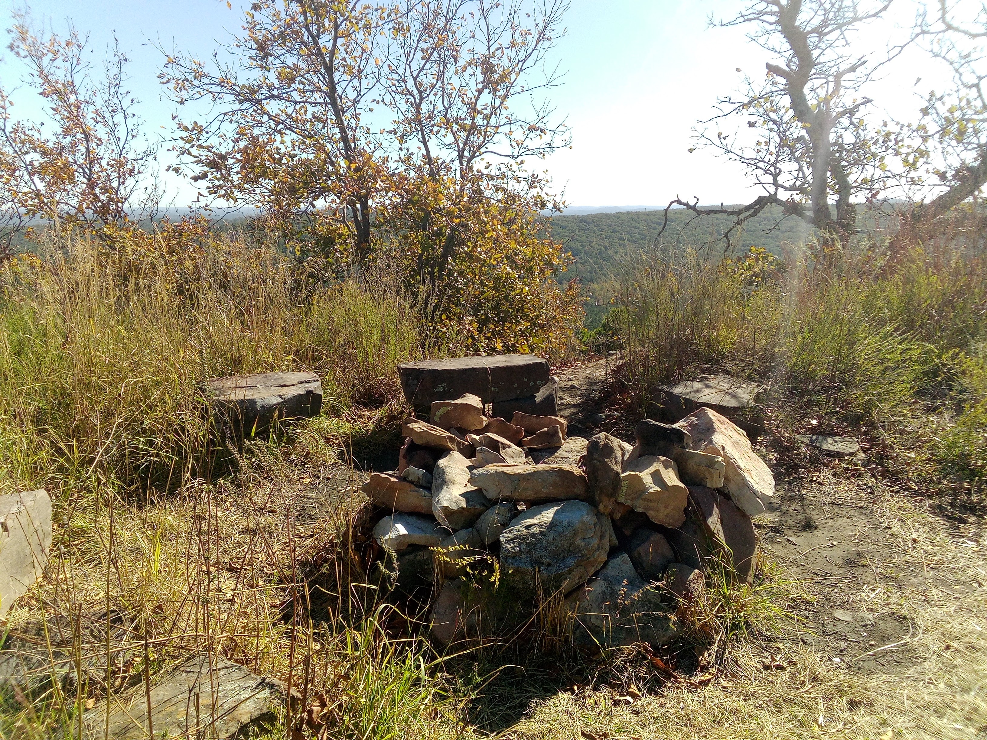
- The North Fork Pinnacle was a half-mile round-trip out of the way. I don’t like non-trail miles but this pinnacle actually had a view.
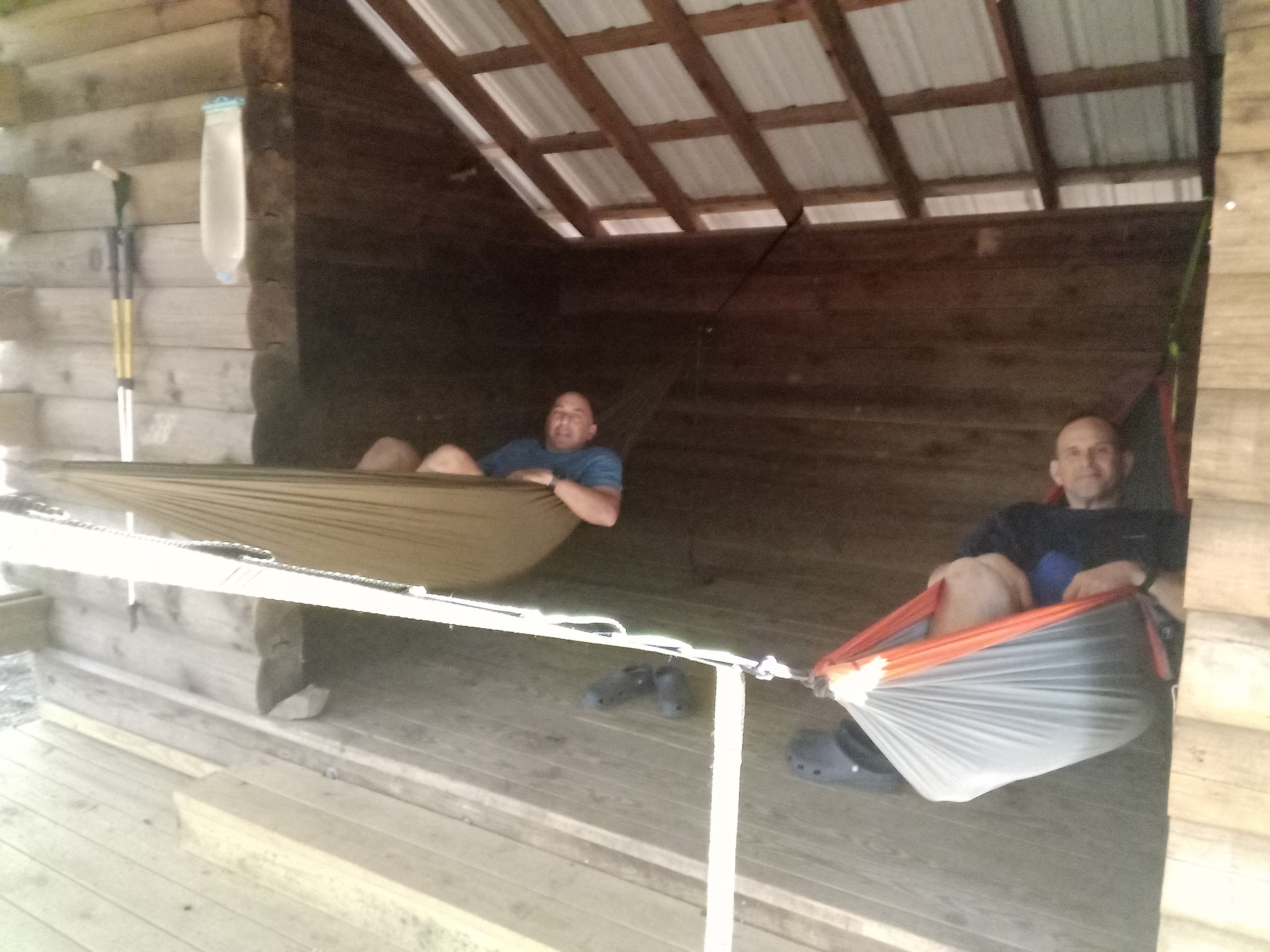
- Met Rob and Andy at a the last east-bound shelter. They had genius way of hanging their hammocks from the beams. They’ve been section hiking the Ouachita for about two weekends each year as a way of staying in touch. Inspirational. They’re almost done and I wonder where they’ll go next.
- There’s a section on private property. The trail easement must follow cardinal directions because it tends to move that way, going up and down hills as they happen to be in the way instead of flowing with the terrain. Given that I entered the property in the late afternoon, I was going to be sleeping there and wasn’t sure if that was allowed. I decided I could sleep next to the trail and probably be OK, or at least it was be easy to move on if rousted, but this was the one place where I wish I’d done more research.

- On the private property, I took two wrong turns looking for the exit from a gas pipeline cut. Blazes were on rocks in the double-track which followed the pipeline and were a little sparse. The road turned right after crossing a stream bed (my first guess) but cut also continued straight (my second guess). It wasn’t until I turned around and hiked back a ways to find the last blaze I’d seen that I saw an obvious turn-off with trees on each side of the trail blazed. The blazes were just facing such they couldn’t be seen in the direction I’d originally been hiking but were hard to miss when coming from the wrong direction. Dusk had been falling so I’d gotten in a little panic. The trail corridor thereafter was quite reassuring. There were even 3 colors of blazes: blue, yellow, and purple.
- Camped just before the Maumelle river near the last blue blaze I could find. Flooded areas near rivers can make the trail hard to follow because the trail bed gets washed out and brush gets rearranged. Despite returning to the last known blaze and setting out along several directions, it wasn’t until light the next morning that I could see the way – at which point it was almost obvious.
Saturday, October 21, 2023
- I waited for light despite wanting to finish early today. An early finish would make it easier to find a hotel room with a shower and laundry facilities. Not finishing today would mean trying to clean off in the Maumelle Reservoir before spending a day on airplanes. The advantage of light is that I didn’t spend time lost where the trail was faint in the river valley. Fortunately, this was one of the more heavily blazed sections.
- For a mile or so, I walked within sight of the Maumelle river. Birds were signing. Some ducks were flying along with their feet in the water, not quite taking off. It was idyllic except that there was a lot of road noise from a highway just out of sight on the far bank. At this point I wished for a canoe that I could put in and paddle down to the reservoir which ends a few miles short of the trail’s eastern terminus.

- Had trouble crossing a power line cut. The trail seemed to disappear when entering the cut, but actually went right for ~10ft then entered the dense brush. There wasn’t an obvious exit or blaze on the far side. I followed a game trail across and got scratched up, then searched for a blaze, finding one in a few minutes. I walked the trail back under the power lines to see what I’d missed, it was very easy to follow – I’d just need to take a few steps to the right. It’s incredible how such small misses can have such large impacts.
- Met an older couple who lived in the area. They told me an aggressive dog had been reported near Lunchford’s corner. I wasn’t sure where that was, but I was glad to hear that the sign saying Pinnacle Mt State Park was 12 miles away was actually about 10 miles. They’d measured it.
- Crossed the dam which creates Maumelle Reservior. No shoulder but fortunately light traffic.

- The western part of the trail over the north side of Maumelle Reservoir crosses many (dry) streams and would be very difficult to follow if it weren’t heavily blazed. The trail feels like it wanders enough as to be a little disorienting. There’ a slight slope towards the lake and sometimes you can see lake water sparkling in the distance through the trees. It felt a little chaotic and I wonder how the route was initially chosen. Why not just walk the shore of the reservoir and enjoy the view?
- The eastern section of trail which passes over north of Maumelle Reservoir rolls, has few views and the blazes are fresh. I was getting very attached to counting down the miles at this point.
- The end of the trail is actually a little complicated. There’s a road walk. You enter Pinnacle Mountain State Park through a corner of woods at a traffic intersection then walk past the base of Pinnacle Mountain before exiting through an archway which I thought was the terminus of the trail before seeing another blue blaze across the parking lot. The trail continues to the other side of the park on what feels like a decommissioned railroad bed. After the steepest climb of the entire trail, you come out at the lower parking lot of the visitor center where there’s a large mural titled Ouchita Trail. Nothing actually states that this is the eastern terminus, so I wandered up to the visitor center proper just to be sure I’d finished.