Lydia and I have been to Ross Lake once already this year, this time we were going with her housemate, Brenda, and Brenda’s boyfriend, Isaac, who I’ll call IQ so you don’t think I’m referring to myself in the third person. We wound up visiting some campsites I’ve seen on the map and wanted to explore. We also got a lot better at canoeing.
Friday, July 2
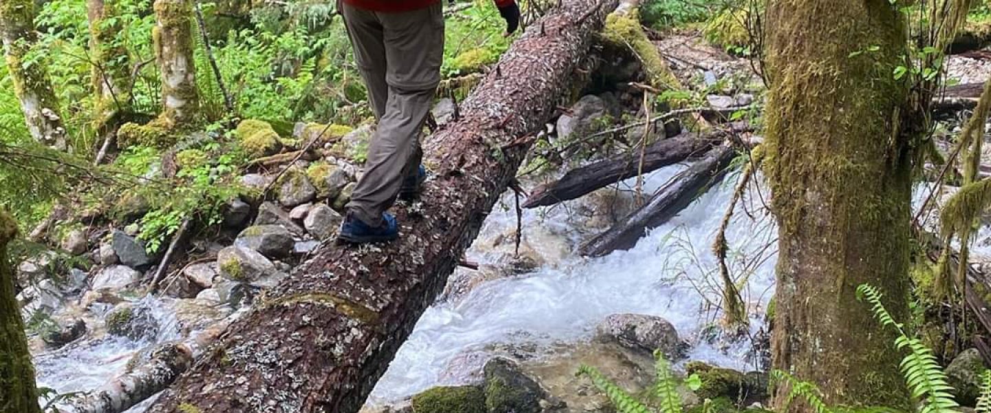
Instead of hauling a canoe up to the North Cascades, we opted to rent from the Ross Lake Resort which meant we didn’t have to put in on Diablo Lake, then portage. Instead, we hiked down directly to Ross Lake Dam, then crossed it and took the trail to the floating resort. Still, had were packed heavily for a canoe trip, not a backpacking trip, and so when the trail turned out to be a little longer and slightly hillier than we’d expected, we were mildly disconcerted.
In the building to rent a canoe, there was fellow who’d forgotten his belt and was using a dog leash to hold up his pants. Another fellow, who looked like the resort’s owner, smiled and said, “they should sell belts here”.
A canoe was waiting for us tied up to the dock. A resort employee helped me pick out a life jacket and paddle, then we paddled out through the logs strung together to create a ring around the resort.
Brenda and IQ had started the day before and our plan was to meet them at Cat Island whenever we got there. We traced a familiar route out from Ross Lake Resort and turned north past Cougar Island (which was actually an island on this trip as the water was 50ft higher), and took our first break a Rainbow Point a few hours later. We’d been warned that a wind tends to come up in the afternoon and so were hurrying to get as far as possible before that might happen.
On our previous trip, I’d mostly steered with what’s called the “C stroke”. When paddling on the right side, the C stroke moves the nose of the boat to the left. If the canoe was a little too far to the left as would frequently happen after paddling for several normal strokes, my only remedy was to switch which side of the canoe I paddled on.
On this trip I started experimenting with dragging the paddle behind the canoe for a moment like a rudder. Lydia told me about something called the “J stroke” and described the technique. Eventually, my paddling morphed into something resembling the J stroke and we were able to keep the canoe going relatively straight despite not switching sides frequently.
Playing with the strokes got us to Rainbow Point which is where Brenda and IQ had started their day. We ate a quick lunch, watched some Forest Service employees survey erosion control devices around the dock, and hopped back in the canoe to paddle some more miles before the wind might pick up.
Ross Lake had risen about 50ft to “full pool” since we were last here. One of the consequences is that many familiar landmarks (“watermarks?”) looked different. A waterfall which had seemed incredibly tall remained dramatic but without being quite so awe inspiring.
We reached Cat Island in the early afternoon having avoided any bad weather or wind. I’ve seen Cat Island from the Desolation Peak trail several times and always thought it would be fun to camp there. It’s not far from the main land but the shore facing it is steep and so you’d have to jump in to swim over. Canoeing was much easier.
We passed an outcropping of Cat Island (which IQ dubbed “Kitten Island”) and landed on the northeast side by the dock. At first, the island appeared deserted, despite us having seen another red rental canoe (a “red tomato” as we called it), though with a little exploration, we found Brenda and IQ on the south side. We’d left our bags at the first campsite we encountered and when we returned to fetch them, discovered a deer attempting to gain access to our food. Maybe the park should rename their metal food storage containers, “deer lockers” instead of bear lockers.
After bringing our bags down, I brought the canoe around to a little cove and IQ helped me pull our “toasty tomato” out alongside theirs. The rest of the day was spent lounging, hammocking, resting, relaxing, and reading.
Saturday, July 3
Our destination for the day was Silver Creek, a boat-in campsite at the north end of the lake. I’ve wanted to visit since I first saw it on the map and wondered about the lonely, disconnected dot in the top-left. It was a shorter distance than on Friday but the wind picked up. Lydia and I haven’t practiced rolling a canoe and so we weren’t really sure whether the chop was fun or concerning.
The plan had been to meet up at the Boundary Bay camp for a mid-morning snack, but we failed to spot the campsite from the water and so passed the point on the north side of the “bay”. Not being familiar with now much roll the canoe could safely handle, I found myself steering with the waves (but not around the point) when things got uncomfortable and only turning north (maybe 45 degrees off direction of the waves) when the waves were calmer. I was concerned that if we got too close to the shore, we’d have to run perpendicular to the waves to get around the headland. This would mean making it as easy as possible for the waves to tip the canoe over. As it turns out, then angle of the waves shifted enough that we made it around without having to have too much excitement.
After rounding the point, we realized we’d completely missed Boundary Bay and had no idea where Brenda and IQ were. However the water was calmer. By the time we’d finished talking through options, another Toasty Tomato was visible rounding the headland. Brenda and IQ seemed to have had more fun than concern and so we set off together from east side of the lake to the west side aiming for a delta of sorts which we expected to be hiding the Silver Creek Camp.
Crossing Ross Lake is talked about as though it’s a risky proposition under certain conditions but we were able to run with the waves and so despite pitching and slapping a little, the lack of rolling made us feel more comfortable. Silver Creek turned out to be sheltered from the southerly wind as it was on the north side of the bulge of land where the creek entered Ross Lake. By lunch, we’d arrived and tied up to the dock with a view looking northeast into Canada.
The Silver Creek Campground appears to be the least used of any boat accessible camp I’ve seen in North Cascades National Park. Conveniently, this meant that firewood was available on that short paths from dock to tent side. We had read, lounged, explored a nearby cove, practiced rolling the canoe, and played a dramatic game of Farkle after dinner. Despite starting with a little excitement, this was the lowest-key day of the trip.
Sunday, July 4
Happy Independence Day! We were up early anticipating a long paddle with the potential for headwind and waves in the afternoon. The sky was lightening and the sun hadn’t crested the eastern mountains. The water was almost glassy, the wind calm, the moment serene.
We reached our first rest stop, Little Beaver camp, shortly after the sun had crawled down the western slopes and touched us down on the lake’s surface. We pulled over by the sign which said Little Beaver at a set of concrete blocks which appeared almost eroded out but might once have supported a floating dock. For a bit, we thought the camp was abandoned and I wondered why it was still on the map. Nature called, and the search for an outhouse revealed (and due to dog barks, may have awakened) the entire camp. A short side-trip up a nearby inlet just after we departed revealed that the entrance to Little Beaver camp was actually just inside the mouth of the inlet and the camp’s infrastructure was very much intact.
We were going to cross the lake and stop at 10 Mile Island for the next break but having been there before, decided to pull up early near Ponderosa camp. We made good time on calm water. I used the last of the toilet paper in the outhouse then awakened (probably) most of the camp shouting to Brenda and IQ that we’d altered course. We had a snack and made our escape from the pirate-themed camp (they had a jolly roger) before anyone discovered my treachery.
From there it was a straight shot down the east bank of the lake to McMillan’s. The wind never picked up. We learned that holding a straight line meant that we were able to keep up with Brenda and IQ’s more powerful strokes because their coursed meandering more. We were at McMillan’s by noon and I went for a swim before setting up camp and the morning’s sweat could dry. For some reason, once I’m dry, I lose all motivation to swim even if I’m covered in salt deposits. Other revelers were around and some briefly stopped by our dock to pick up an alcohol assisted sunburn.
Otherwise, this is how the rest of the day was spent.
Monday, July 5
Our last morning of the trip was lazy. IQ made the best egg dish I’ve had in the backcountry. After shoving off, we spent some time paddling in circles so Lydia could practice her J stroke as I’d been hogging the canoe’s stern for the last three days.
There were just a few hours to paddle back to Ross Lake Resort. The wind we’d feared the day before came up and it was nice to be close to shore as it felt like we might have been at a standstill if we didn’t see ourselves creeping past nearby rocks and trees.
Actually reaching the resort felt like a satisfying end to a long trip. It was an end in the sense that we returned the canoe and settled the bill, with some question as how we should get back to the car. Instead of hiking around to the dam, we took a powerboat across to the trail which went directly up to the road. It was strange finish, to hike out with day hikers, backpackers, and other boaters. Some were outbound, others returning. Some were touristy types with fresh clothes and gear, others with gear and skin indicating longer adventures. Every trip has a unique narrative but on this trip, the end was a reminder that we were just a few more members of the outdoors community, some of whose names were inscribed on plaques mounted on the walls of the Ross Lake Resort going back to the early 1900s.
