Day 99: Oregon

Memories from July 28

Our campsite was really comfy last night and Jan didn’t want to get up for 5:30am reveille. I don’t normally set an alarm but we wanted to make to our next resupply, Callahan’s Lodge, in time for the bottomless pasta supper with the idea of getting back to the trail, even if not making it very far thereafter.

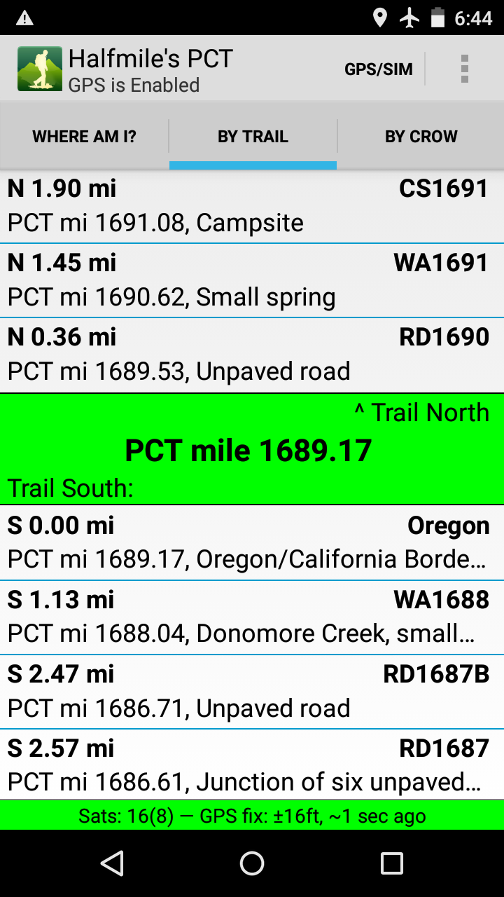
Less than a mile before the Oregon/California border, it appears that border security is suffering from California budget shortfalls.  

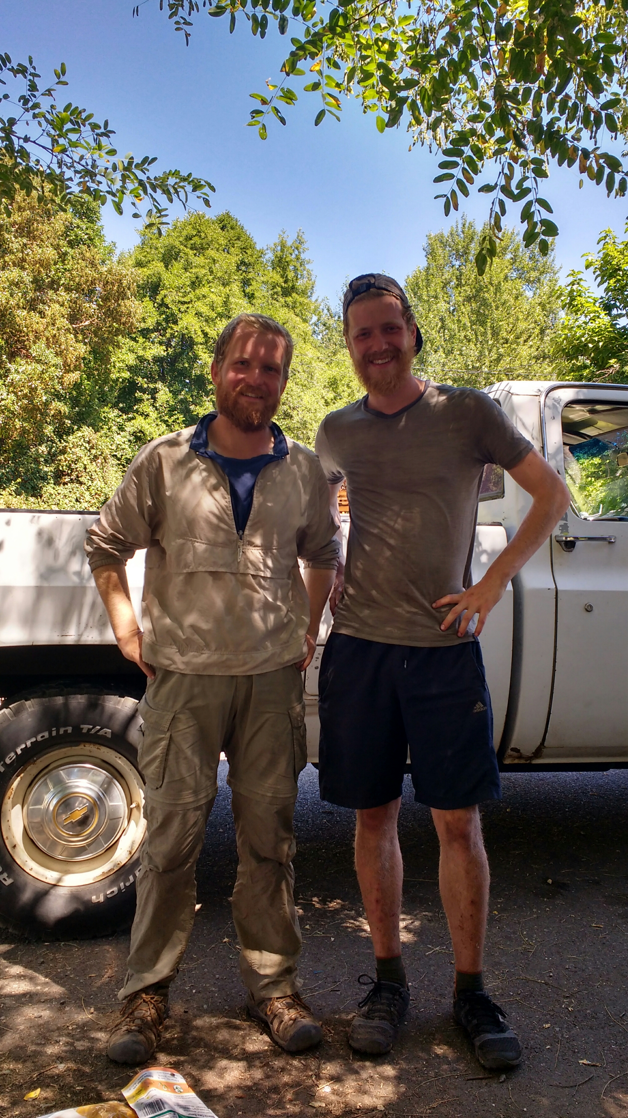
The border itself. Featuring myself and Jan’s finger.

The GPS agrees, we just walked across California. I’ll just let that sink in. It stall hasn’t for me.

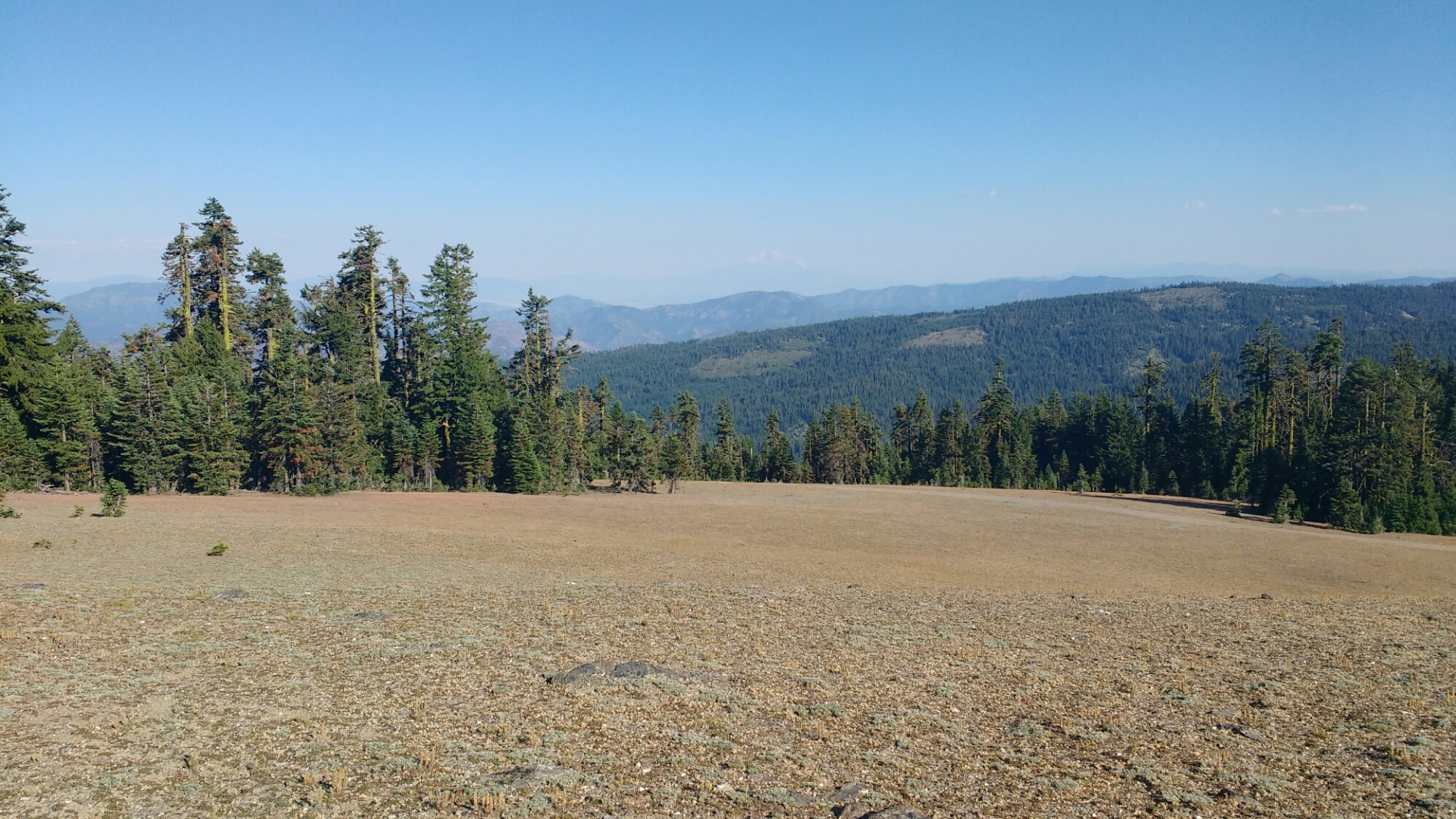
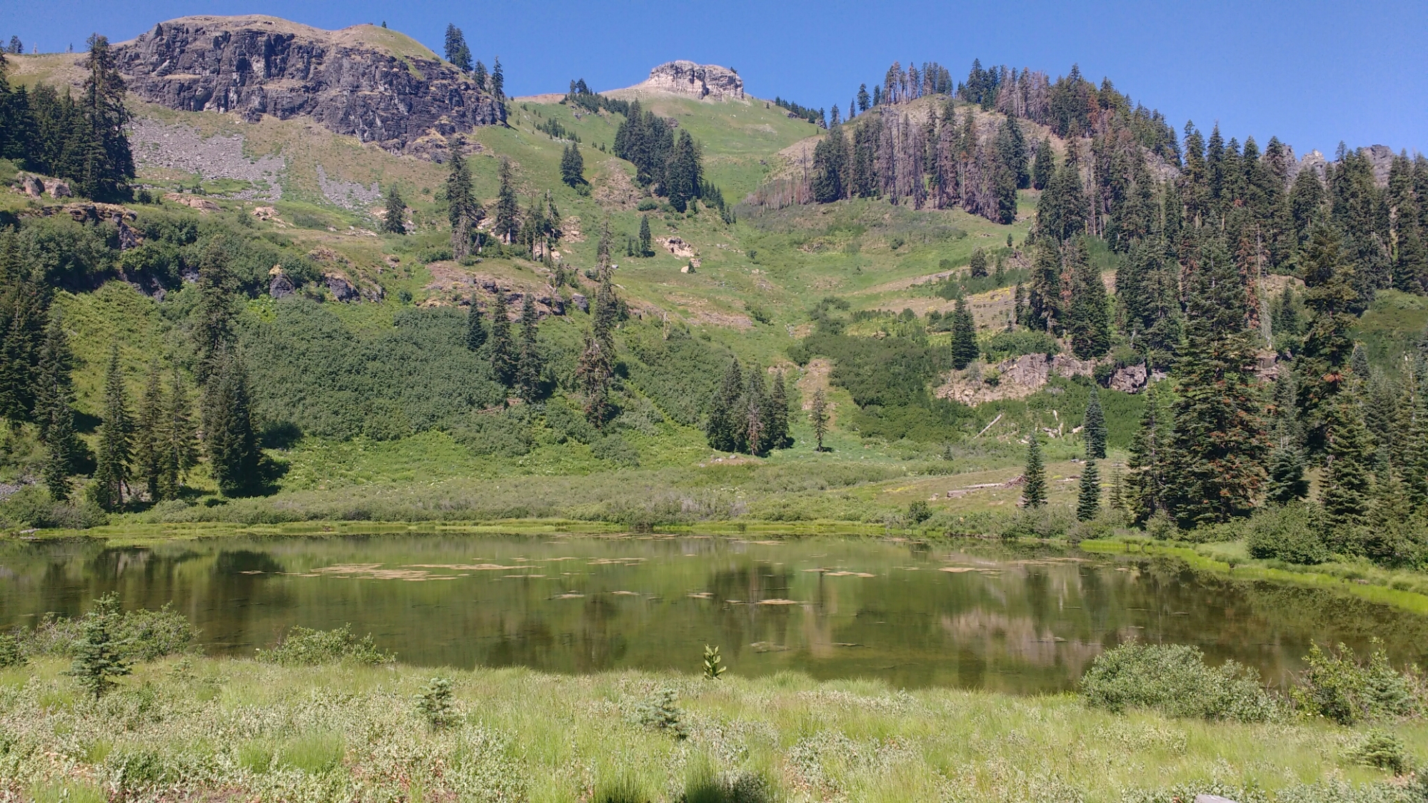
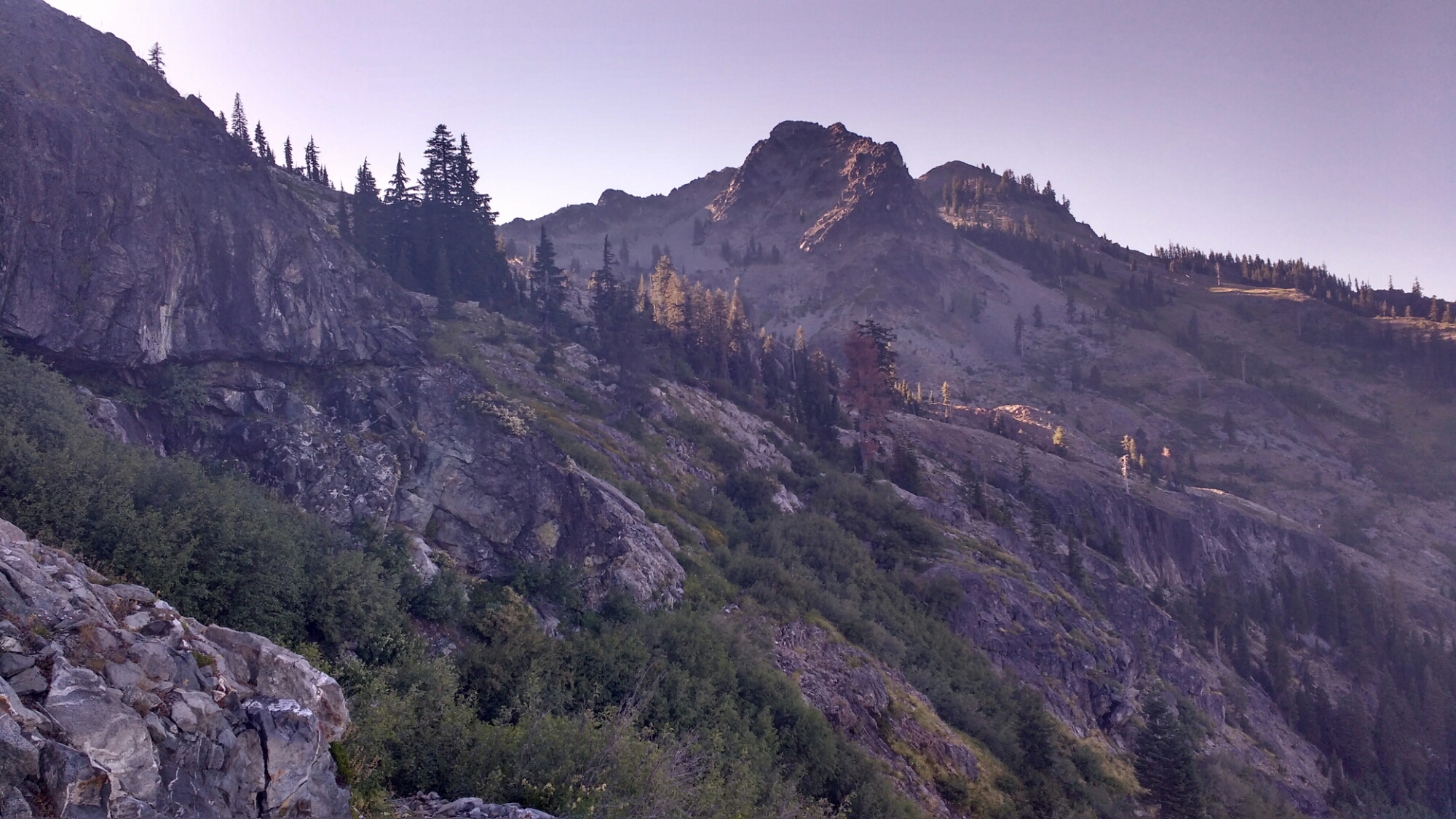
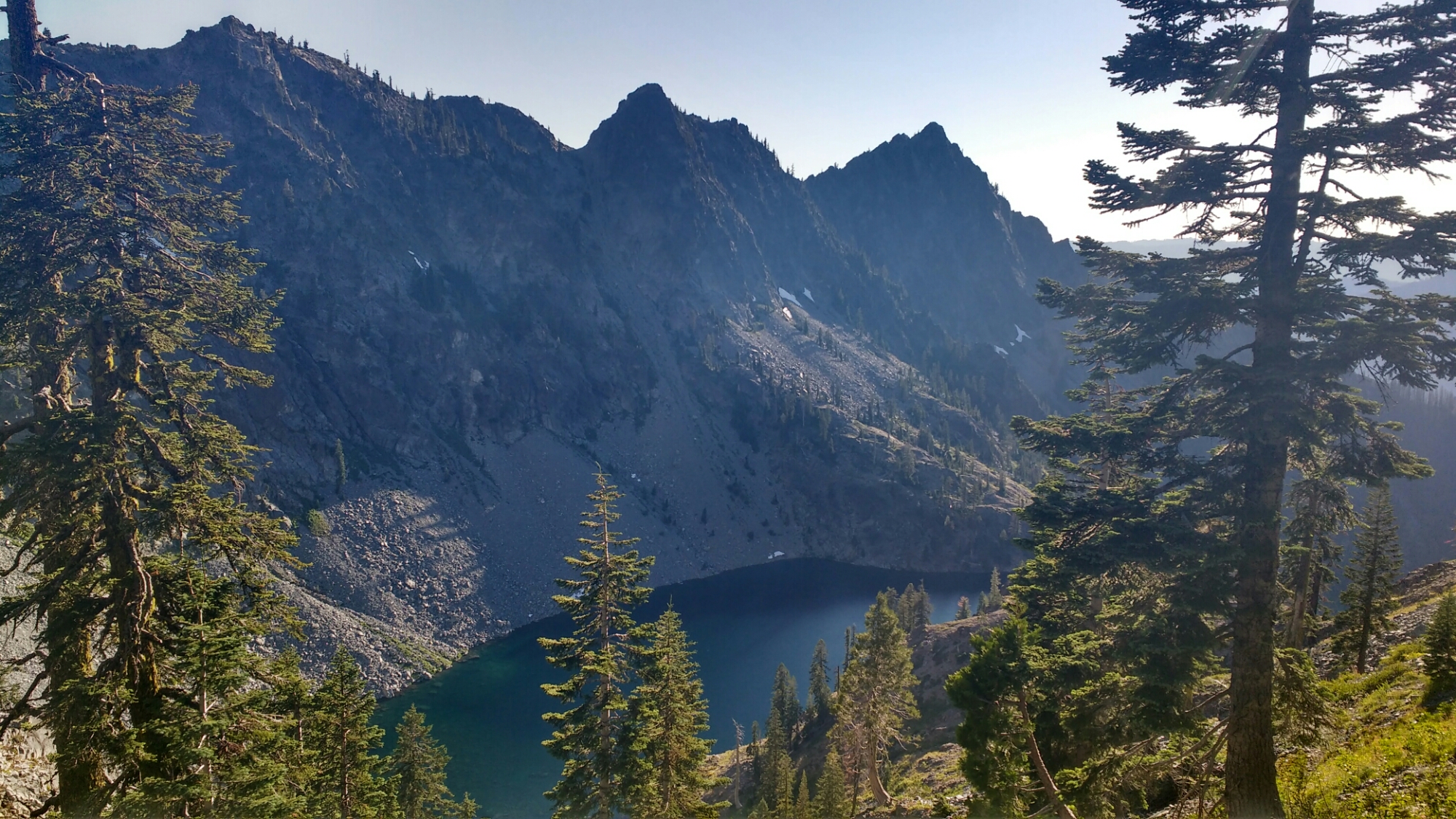
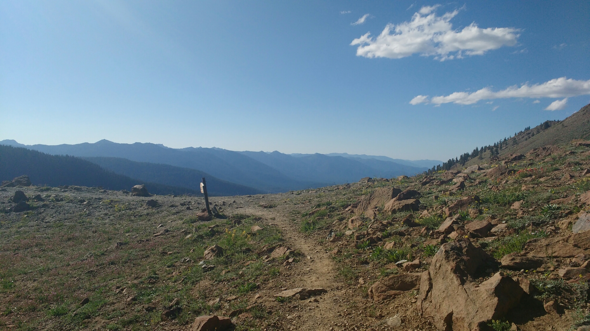
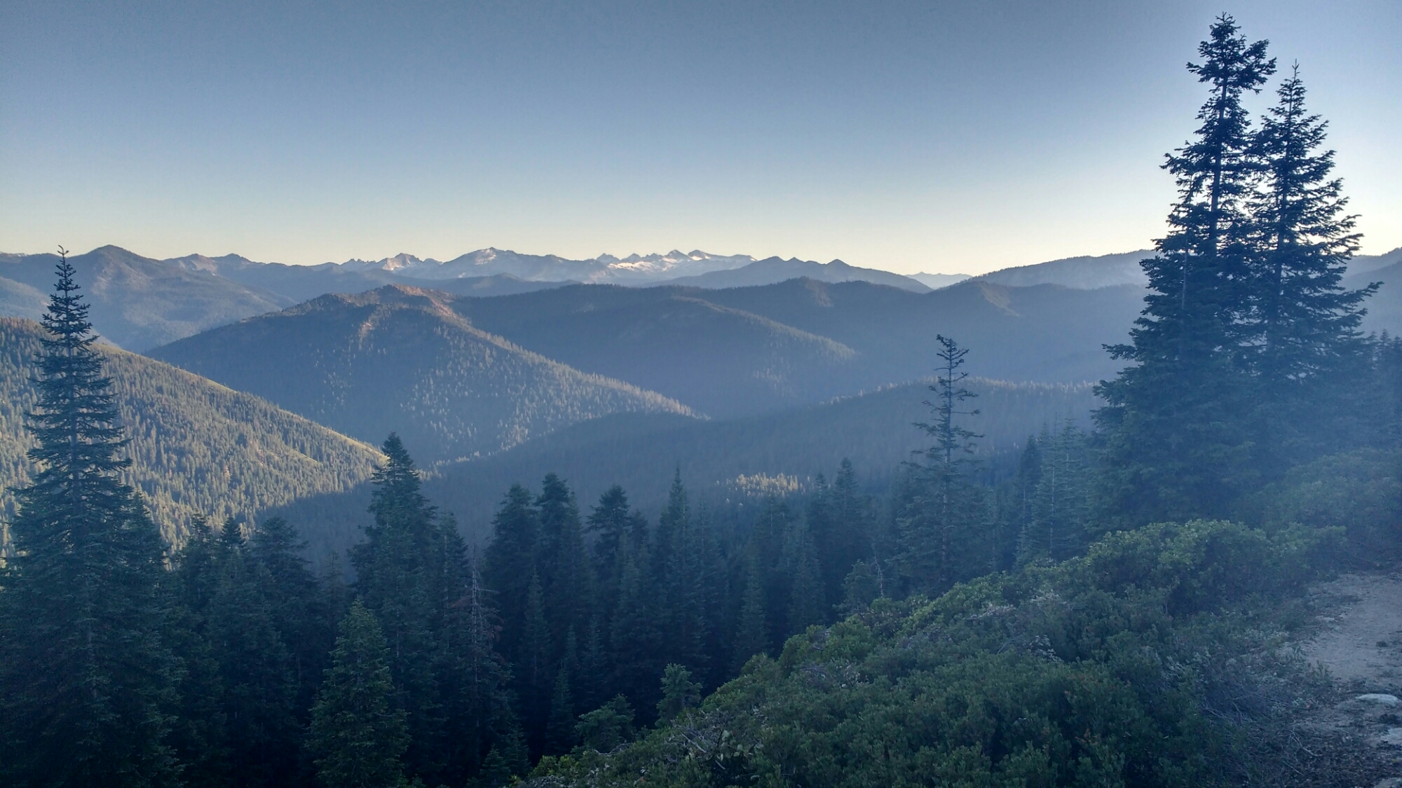
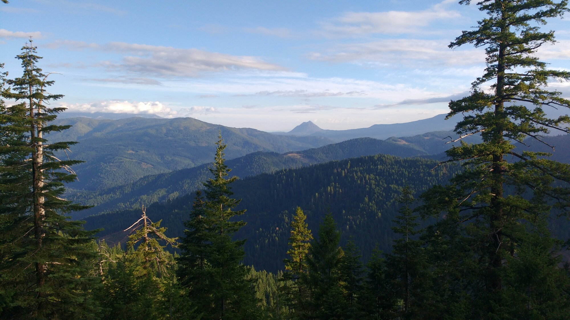
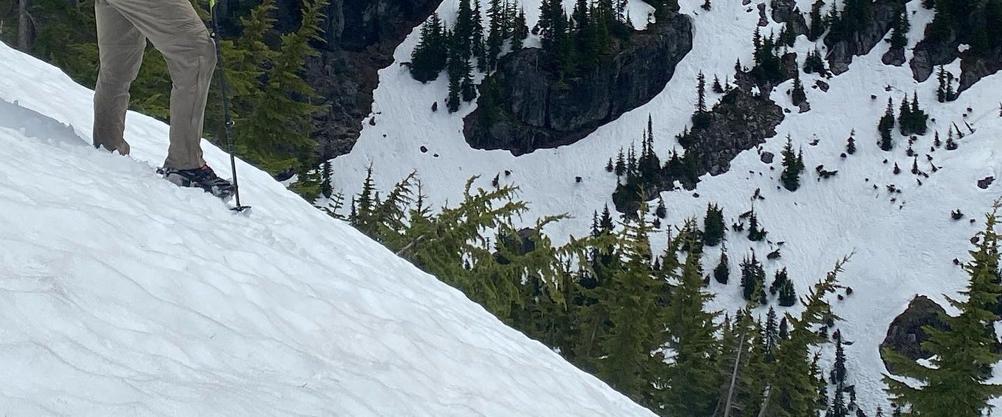
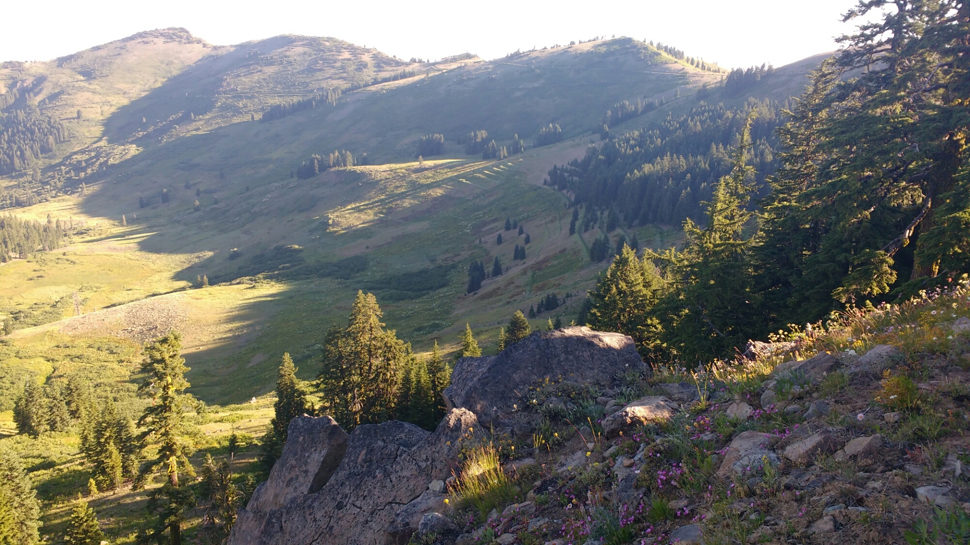
My first impression of Oregon is that it would be pastoral but for the hills. Most of today looked like this.

It’s not uncommon to hear woodpeckers but this looks like a woodpecker hit squad was called in to “take care” of a particularly irksome tree.

We ran across some trail magic, two coolers of soda just after a break and so were forced to take another break. The sun was hot at the moment and it was hard to get going again.

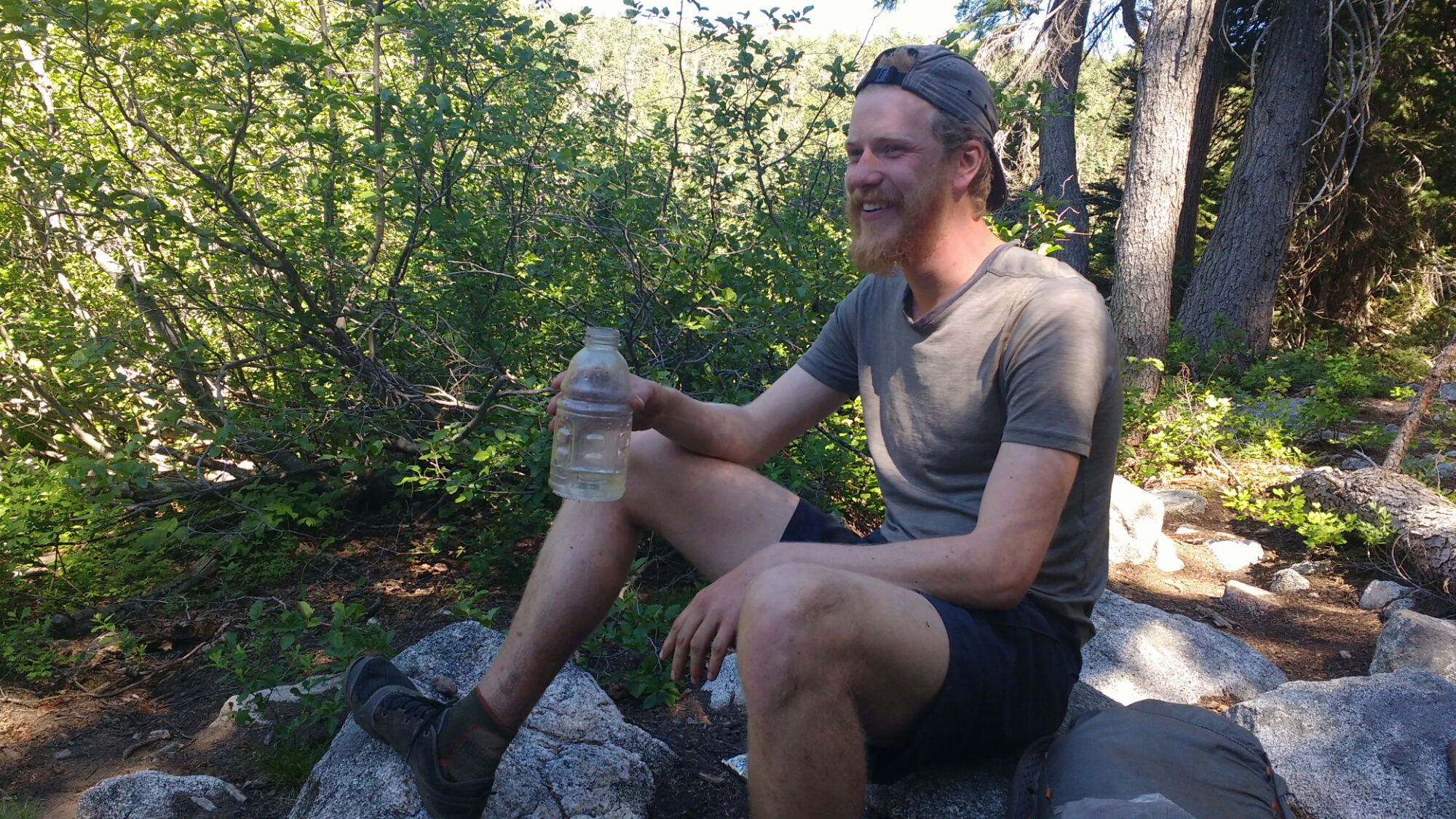
Jan had been walking slower than me for most of the day but as we were closing on the day’s objective he came flying by as fast as I’ve almost ever seen anyone hike. He’d previously picked up a new blister and had been feeling crumby so instead slowing down and feeling sorry for himself, he’d decided to get it done ASAP.

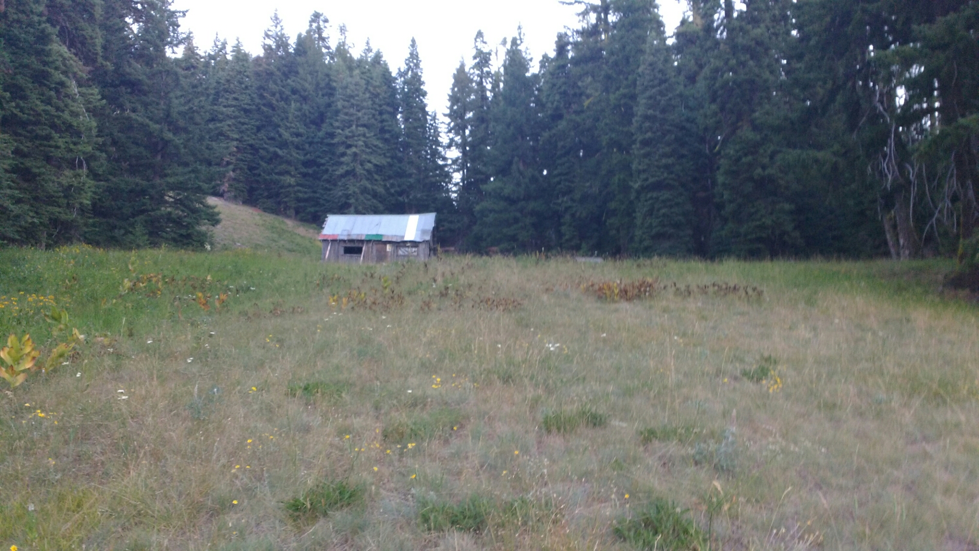
Our resupply packages had not yet been delivered when we arrived at Callahan’s Lodge. Also, they had a special breakfast option for hikers with all you can eat pancakes. Also, they’d had a cancellation so we could split a room four ways for the same price as camping, laundry, and shower. So we got a room and it was nice. There was a balcony, fireplace, and hit tub. Despite going to dinner in a bathrobe (several other hikers did as well), I didn’t feel like hikertrash. Even for those without a room, there’s a large room off the entry way where hikers could explode their packs while repacking. Callahan’s is the classiest hiker friendly place I’ve experienced. In the end I only found one hiker besides Jan to split room so it was a little pricey for me since I’d put the room on my card but in return I got a king sized bed to myself. 

Day 98: The End of California

Memories from July 27

Jan and I woke up to a 4:30am alarm so we could finish the exposed section of the ridge before the heat was turned on. By early morning light, it was one of the better ridge walks of the trip because of the constant openness of the views because of the burn.

Shortly after our first stop to collect water I started to feel unsteady. Thinking back through what I’d eaten, I realized that that I’d barely had anything but sugar since yesterday morning (Campbell Soup seems to have gone for diet over hearty and so dinner last night, while surprisingly filling contained fewer calories than a pair of pop tarts). I took an emergency food break to stuff my face before continuing. Making such a beginner mistake this far into the trail made me almost feel ashamed. Several hours later, all that food kicked in and I ran on and off after a later water collection break to make myself feel like I was back in the game.

Jan and I camped about a mile short of the border between California and Oregon. I haven’t processed the fact that I’m within a relative hairsbreadth of having walked across California.

Day 97: Heat

Memories from July 25

Most of today was spent resupplying and running internet errands. I’d ordered a new pair of my current shoes but because mine  don’t have the model name on them anywhere (maybe it rubbed off), I’d tried to match them to a picture online and had guessed wrong so I made my first internet return with a handwritten note since I couldn’t get a printer for the return slip. Fortunately my shoes are holding up very well given that they have about 900 miles on them. The tread is even still good save for some minor delamination on the side.

The overriding theme, though, was the heat. Even sitting in the late morning shade while I used the WiFi at the RV park, I had a thin layer of sweat. The plan was to hike out in the evening but by 6pm it was still felt hotter than most days in the desert which, when I hiked through in April and May, cooled quickly in the late afternoon. As we slowly (on account of Jan’s leg) hiked the long climb out of Seiad Valley,  my clothes became as wet with sweat as at any time on the trail except after running.

Hiking out in the evening, beside giving Jan’s let additional recuperation time, meant the sun was low enough that the ridge shielded us from it when we were on the east face. A fire sometime in the last few years had defoliated  most of the tree cover. The silver lining was that the trees didn’t block the view.

We camped around 10:30pm on a thin ridge in bivvy sites small enough it would have been difficult to fit a one person tent. I was a little worried about rolling off in the night and so set stones next to my groundsheet so I would wake up if I were getting to close to the edge, even if it wasn’t a precipitous drop. The stars were beautiful.

Day 96: Seiad Valley

Memories from July 25

Today we hiked into the very small town of Siead Valley. The trail actually goes along several miles of road right through town. The small size of the town means the restaurant; store; and RV park where you can shower, do laundry, and camp are all adjacent which is convenient when you’re trying to minimize the time spent walking between them in the 110°F sun. The trail before the road was an easy, rolling walk down the edge of a valley which dropped steeply to Grider Creek. The plan is to stay in Siead Valley until tomorrow evening until to let Jan’s leg rest, resupply, and prep for the Oregon in 2 Weeks challenge.

This little bridge is out.

This little bridge is not.

Apparently, we’re only 8 miles from Germany. Also, hamburgers were on the mind.

Several people in town asked if Jan and I were brothers. What do you think?

Day 95: Goats and Paradise 

Memories from July 24

We’d heard cow bells last evening and this morning from particular overlooks. It turns out they were goat bells. There appear to be some hikers with a dozen or so goats but we’d already passed by the time we saw the human contingent.

Jan being greeted by one of the dogs which was hearding the goats.

There were a number of exposed ridge walks which made for nice views. The intense sunlight washes out most pictures I’ve taken of them. However, we did pass by Paradise. 

Somehow I’d assumed that a lake called Paradise wouldn’t look like a mosquito bath. Jan was out of water and so took some from Paradise Lake. His comments didn’t make it sound like it tasted particularly divine.

The trail is generally becoming more exposed and drier. The yellow of the rock in and around these steps highlighted the changes. It also made me glad that we were at a higher elevation since we could feel it get significantly hotter whenever there was a long descent.

One of many pleasant but sun drenched overlooks.

When the trail would descend, conditions got greener to the point of being lush.

Trail or ivy? You decide.

After a long descent into a river valley, Jan and I set up at a campsite with a bunch of other hikers. Despite the creek being very cold, the night was the first of the entire trip where I had to unzip my sleeping bag for most of the night because it was too warm.

Day 94: Marble Mountain

Memories from July 23

At a break, Jan explained why he hadn’t drawn water from the previous water source, a spring 0.2 miles off trail. “Do these miles take me to Canada? Noooooo”. PCT hikers usually have little desire to hike anything other than the trail. People sometimes joke about being willing to hitch a few dozen yards if given the option.

The Marble Mountain Wilderness was like reminiscent of the Sierras, though lacking snow. The ridges were rugged as was the trail. Steep granite hillsides plunged into clear lakes or soft meadows.

Day 93: Etna

Memories from July 22

It was 22.5 miles to Etna Summit where I could hitch East on the Sawyer Bar road to Etna. I needed to get to the post office before it closed since I didn’t want to spend the weekend in town waiting to pick up the resupply package on Monday. I made it to the road by 2:15pm and the second car to come by (half an hour later) gave me a ride down the steep windy road. Here are some pictures from the trail before Echo Summit.

It’s a little hard to read in the picture but the top trail sign is to Hidden Lake. I guess it’s not so hidden anymore. 

Pretty view.

I could hear water running under these rocks.

There was a long, particularly devastated burn section. 

Snow? I haven’t seen snow on the trail for hundreds of miles. It was just this patch though.

In Etna, I discovered that I only had a letter containing maps at the post office. My OneNote app had upgraded at the last wifi access which required re-downloading all my notes. I haven’t been able to do that due to lack of internet access and so hadn’t been completely sure whether I had a resupply box at the post office or if I’d planned on resupplying at the store. Also, the mail lady told me that they were open on Saturdays for pickup only. In short, I hadn’t actually had to hurry quite so much for the last three days.

I got a bed in the Hiker Hut at the Alderbrook Manor, did laundry, and while I was sitting in my loaner clothes waiting for the dryer, saw Fruit Cup come in to the Hiker Hut. Fruit Cup was the youngest member of the group which had trail named me back in the desert. He’s high energy and always has a witty comment on the tip of his tounge. Apparently he split from the group in South Lake Tahoe when he realized that he was going to have to hike pretty far every day to finish the trail before school starts. A lot of hikers would have given up on finishing but in a characteristic display of bravado, he’s going for it.

Day 92: Hole-y Socks

Memories from July 21

Today’s hike was pretty tightly managed since I’m trying to get to Etna by Friday at 5pm for a package. I wound up hiking 38 miles, assisted by the gentle terrain. There weren’t any particularly notable events but with so many miles, there were some good views.

When the trail comes up to a saddle like this and you can suddenly see into a new valley it’s a little exciting. I get a feeling of anticipation as I approach one, starting right about where this picture was taken.

A trail sign to Bloody Run Trail. I’d love to know if the whole day dripping over the ingrown sign was intentional but it looks as macabre as the name of the trail sounds.

Just another nice view.

I set up for the night in an ATV track near a trailhead since it was the most level place I could find. Also, I found a hole in my left sock. This is notable because I only have one pair of socks, because I’ve had these socks since the Mexican border, and because they’re Darn Tough brand socks so I can return them for a new pair which isn’t thin and hard. I’m near a trailhead with roaming cell service and am able to text Dad to ask him to send a pair of the replacement socks I’d left with him. Good timing to have cell service.

Day 91: Hide and Seek With Shasta

Memories from July 20

Since the plan is to ge to Castellated by Friday at 5pm, today needs to be about 35 miles. That starts with something about 10 miles of uphill into the Castle Crags Wilderness, though it’s well graded. The views were fantastic breaking a recent slump in the visual excitement of the trail.

Ridge walks are a real highlight because you can look out over both sides.

The trial was very windy. Since Shasta is far away it’s easily obscured by closer peaks. This lead to the feeling of hide-and-seek. It’s kind of strange to have a giant mountain appear out of no where as though saying, “I found you”.

When hikers do donuts. Actually, I have no clue what causes this.

Just another pretty picture. What a day.

Day 90: Castella

Memories from July 19

Yay! I can see Shasta again. I’d been told much earlier in the trail that once I saw Shasta, I’d be seeing it for a long time because it’s so big and takes so long to pass around.

Not sure what mountain this is but it reminded my of the Lonely Mountain from The Hobbit.

Just in case you weren’t sure, this is a frontage road. 

Instead of taking the Frontage Rd, I went straight and picked up the Kettlebelly trail to the Castle Crags Campground. Re shower had a coin receptive but when turned, the handle started the shower so apparently they’re free.

I picked up my resupply box from Amirati’s market along with a box of cereal and a half gallon of milk. The resupply went in my pack and the milk and cereal went in my stomach which required a subsequent siesta.

I ran into Jan at Amirati’s and we hiked out together after sandwiches and ice cream for dinner. While we’d originally intended to hike 10 miles, I think we made it a full two miles before finding the last campsite listed in my noted for a while. Star was there and she and I wound  up in what for me was an educational socio-political conversation while Jan ate a second dinner.