Memories from April 30
I woke up, packed up, and was gone saying goodbye to Fre’ek only because he got up to pee.
I met Camile and Lilly walking the uphill roads to Devil’s Slide which would take us up more to Saddle Junction where we could need the PCT. They’re originally from France but have lived in China and Australia. Camile is a software project manager and Lilly most recently had a job breaking horses. Couples who manage to live all over the world are really inspiring.
I left them at the trailhead and pushed upwards. Devil’s Slide reminded me of Mt Si in it’s grade and constant upward trend. There were clouds and fog so I rarely got a view the trees were sparse so it probably would have been gorgeous.
After Saddle Junction, the PCT reminded me of what I remembered of the low Sierras I found so inspirational five years go. The mix of granite, pine trees, and hard hiking is intoxicating which is good because I’d secretly been hoping to be able to make it to Ziggy and the Bear’s.
The clouds didn’t disperse so I only got a few good looks at the wider terrain

Until I got to Fuller Ridge, it was cold enough that I’d have wanted gloves and a jacket for any period of inactivity which wakes me worry a little about the Sierras.
I passed Blossom who is from Eastern Washington and seemed to generally be traipsing along by herself almost oblivious to the major concerns of most other hikers: Idyllwild, fire closures, daily mileage, etc… I walked with her for maybe 15 minutes during which time we passed a number for student groups from Cal State Fulleridge out on a field trip for their Wilderness Leadership course.
It turns out that when I printed my maps in black and white at 2 pages per sheet, I made it almost impossible to distinguish the trail. This became relevant because I reached a junction with one trail and the Halfmile app on my phone said the next junction was in 0.7mi but I could see a trail sign less than 100 feet away for the trail whose juncture I was expecting later. The PDFs of the maps I have on my phone resolved the issue but it turns out that my space saving techniques rendered the maps almost unusable.
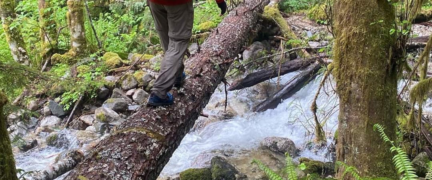
The last dependable water for about twenty miles looked to be so strong that without a warning in the waypoint notes, probably wouldn’t have filled up because it seems like such a strong water source would imply weaker, but still usable ones later. It was my first taste of fresh meltwater on the trip and I didn’t bother filtering.

As the day wore on, I started hitting more and more small patches of snow until the the elevation got low enough. It was fine but I’m going to be glad to have microspikes later.
The second part of the day was a very drawn out of descent many thousands of feet. The terrain changed back to chaparral and as I passed under the clouds, I felt high enough to be like an airplane descending because everything below looked so small.
I’m the most aggressive person I know when it comes to use hiking poles; sometimes I feel more quadrupedal than bipedal. On long, well graded descents this is most visible I’ll use my poles like handrails, leaving my feet free to quickly and lightly run down the trail. It’s a funny technique in that most of the motion is below the knees and outward from the shoulders. It can feel skiing. I also use the poles to swing over short spaces where rocks clutter the trail and would make precise foot placement both important and time consuming. All this pole work got me down Fuller Ridge around 6pm, notably having passed a guy whose train name is Turbo. Other than nature calls, I only stopped three times all day and by the bottom Fuller Ridge my elbows hurt as much as my feet and knees.
There’s a brief road walk at the bottom of the ridge and it just enough downhill to make a light jog easier than a walk.
I passed a trio of younger female hikers on the road. There was a breeze strong enough to make a light noise and they were deep in a bubbling conversation which I guess is why when I politely said “pardon me” to request enough room to pass, the young lady nearest me shrieked and jumped causing a chain reaction of screaming and jumping. I was tired enough that it took a moment to even register that this was out of the ordinary.
I was glad it was still light since after the road the trail crosses a floodplain and in some places the markers are far enough apart and the trail itself indistinct that I made my way by following footprints.
After the sun was behind the hills but before full dark, I did finally make it to Ziggy and the Bear’s. I met the Bear when I opened the side gate and he welcomed me with a gatorade brought by a volunteer and mugshot with my name and number (number of people who passed through). I took GI shower, found a group looking to do the road walk around the closure the next day and went fell asleep under the stars tired but happy.
I haven’t done a precise count but I think it was a 36 mile day.
