Memories from June 5
Today I hiked to the top of Mount Whitney, the tallest mountain in the contiguous United States.
Several groups started out from Guitar Lake at around 3:30am. The sky was glittered with stars and the surrounding mountains imposing, dark outlines. It made me want to take up mountaineering just for the early morning starts.
The string of headlamps hiked haltingly over hard, crusty snow and rock, following a mix of GPS and guidance to “hug the wall” until we found the start of the switchbacks which would take us up to a long traverse after which we could summit.
In places the switchbacks were still snowed under or had been buried my a small slide of snow. These patches of snow where very steep but not wide. Crossing these required confidence in your footing and balance but weren’t particularly difficult if taken with care. Due to a number of factors, I didn’t take one with care and wound up glad to have and ice axe to hang on to while I put on the microspikes I should have before crossing such a steep slope of snow.
As the sun started to lighten the sky, the surrounding mountains slowly grew more defined.


After the switchbacks, our approach from the west joined an route from the east for the traverse to get under the summit.

The sun continued to rise, putting a soft red and yellow band across the horizon. We were on the west side of the ridge but in places were we could see though, the rocks were light up with the yellow morning rays.


The traverse and final ascent were easier than the switchbacks because the snow was wide enough to put two feet next to each other. At the end the slope lessened which made the last part the easiest.
Here I am at the highest point in the lower 48.

Trying to make the classic Excel XL symbol with my poles and ice axe. There’s a tradition at work of carrying a facsimile of the team flag to the top of Rainier. I regret not carrying on the tradition properly.

The emergency shelter. Some people go up in the afternoon and spend the night there.

The hiker I saw inside looked pretty cold though.

The top of Whitney is the end of the John Muir Trail. The JMT and PCT overlap for much of the length of the JMT.

Of course the views off the top were sweeping.


I headed down with Trips and Ramón around 7:30am so the snow would still be hard and easy to walk on. We had some self-arrest/glissade practice on one of the lower switchbacks. Yeah, we probably should have had that under our belts before the trip up. Unlike the way up, there was light so I have pictures.


That was amazing. And over by 10:10am. There is something surreal about finishing such a defining experience and still having the entire day ahead. I celebrated with a nap.
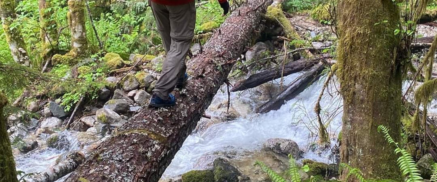
Even the hike back from Guitar Lake wasn’t disappointing, though is certainly seemed less dramatic than on the way in.

We ended the day at a field about a mile from the PCT. We hiked a total of less than 12 miles making it one of the shorter mileage days.
The only downer is that most of my food for the next seven days is Nutella. That’s not so bad in and of itself but some variety is nice and cheese, tortillas, and Snickers are most of the rest of the calories.
