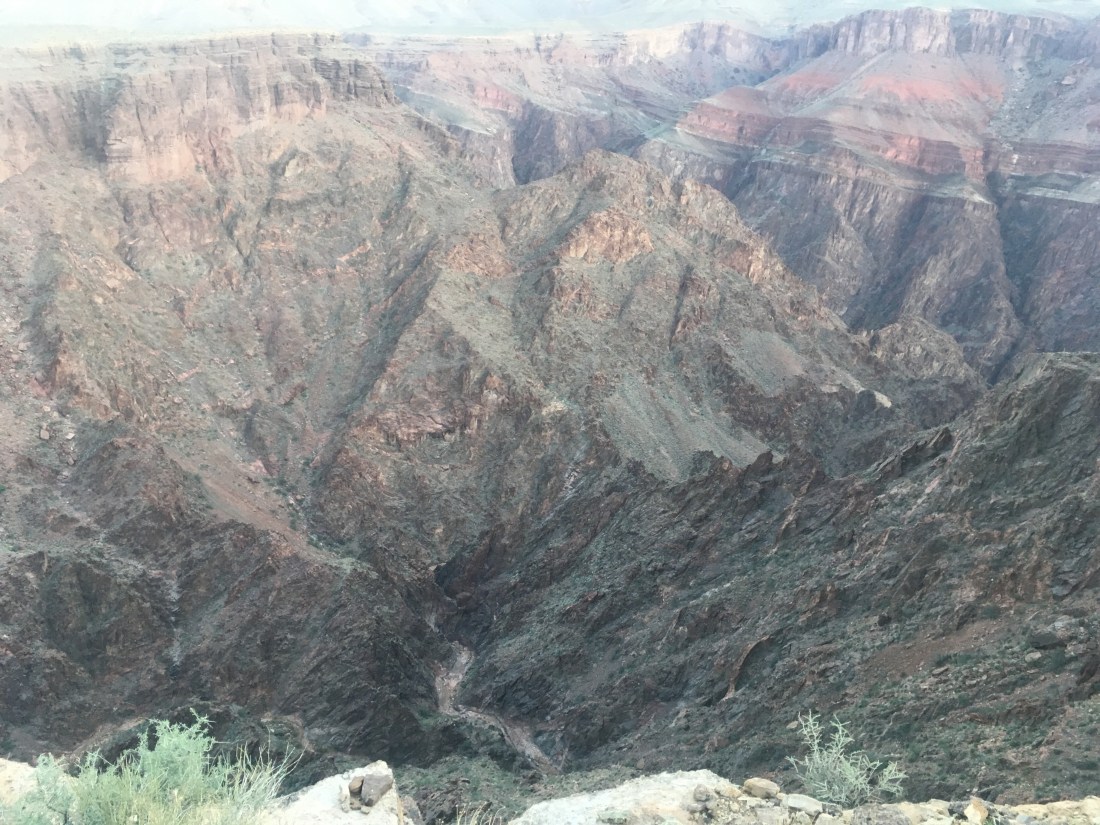
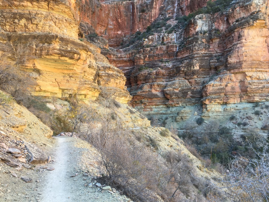
Today’s hike up the North Kaibab Trail was uneventful. I the most interesting thing, like yesterday, was the trail itself. A number of section have been blasted out of the rock wall. I also decided that my favorite part of the canyon is the middle since you see the most. From the top you can’t really see the bottom and vice versa.
I passed a bunch of rangers heading in the other direction and stopped one more or less to thank them for their service. It was kind of a funny thing but I’ve been wanting to thank a ranger for a while but not one sitting in an office which is where I normally encounter them.
The North Rim Campground is shut down for the winter but still allows permitted walk ins (like me). I wandered around for a while looking for the Admin building which is supposed to have the long operable water spigot. The campground appeared empty but I saw a man walking down the road and asked him. He was on his way to get water as well. It turns out that the admin building is also the Back Country Office which I’d seen on my way in.
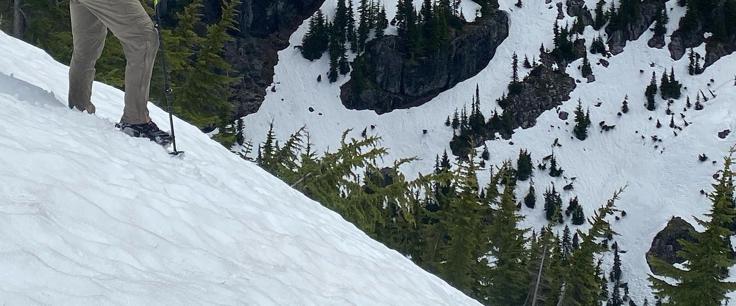
It’s pretty cold up here. The inReach’s weather report says it’ll be 19F tonight but the high was only 43F. I layered up before setting up camp but was cold whenever I wasn’t moving or in the direct sun. I usually don’t cook but had a fuel can from my last resupply and decided to actually cook dinner tonight. I’m really surprised at how much warmer I feel.
Tonight my permit is for the Bright Angel Campground which is about 10 miles from the South Rim, down the well graded Bright Angel Trail. This means I get an easy morning and a late start.
I spent the night in Tusayan and so eat breakfast there and resupply out of the general store. Cliff Bars are 2-3x the reasonable price which makes this feel very much like a trail town. The cashier lets me pack everything into my backpack in the store which is nice because it’s a little brisk outside. I’m bringing a fuel canister and intend to cook dinners on this next stretch.
I need more water capacity as one of my water bottles disappeared through a hole in the netting on the side of my pack and one of my bladders had a acquired a slow leak. Since my nutrition is usually terrible, I decided to get a pair of half gallon smoothie/juice drinks. They probably have enough calories to count as food for the rest of the day and the bottles are too large to slip through existing holes in my pack’s mesh side pockets.
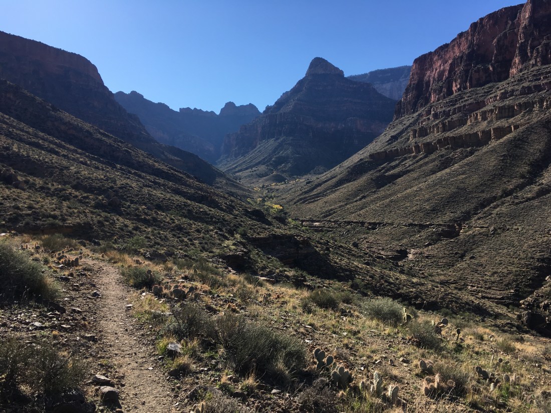
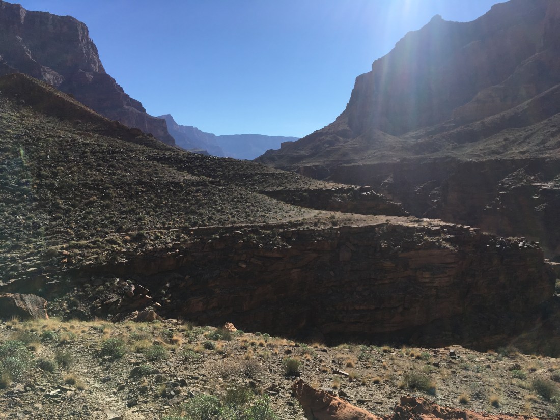
After a second breakfast in Grand Canyon National Park, I cruise down the Bright Angel Trail more or less as expected. The top is a little cold and the wind whips up dust devils. The views are OK but lack the wow factor which I think a longer traverse through multiple drainages would bring.
Strangely, one of the things which I think is most visually interesting is where the trail switchbacks tightly against an interesting backdrop. The trails I’ve been on so far in the Grand Canyon were faint enough that you’d rarely get more than a glimpse of them in the distance.
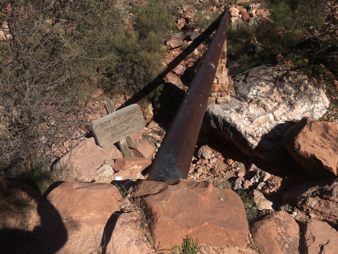
It’s also interesting to try to follow the water pipe which carries water from shortly below the north rim over to the South Rim’s bit of civilization. I assume they do this so there’s less pumping required though you do pass a pumping station. Tracing wires, which I assume are power lines when they appear was also interesting. The lines themselves are thin enough that they’re hard to see but you can spot the posts and try to guess where they go next.
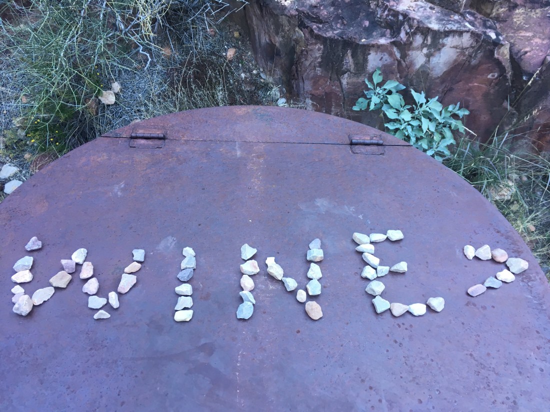
The Bright Angel Campground is maintained by the park and so has flush toilets, running water, and campsites with clear boxes in front where you can put your permit to prove you belong. So many humans and their things. Is this really the Hayduke?
There is a guy portaging his bike so he can ride the AZT. The Grand Canyon is the only place on that trail that wheels aren’t allowed.
Today my box-trapped-in-the-closed-post-office problem got worse when I realized that tomorrow is Veterans Day. This is compounded by my permit requiring a rim-to-rim hike and I’d wanted to start they well before the post office opened. I set about trying to replace the contents of the box stating with paper maps and directions. In the process I conclusively determined that there is no good internet access to be had at any major establishment in Grand Canyon National Park. However, while visiting the Back Country Information Office, someone came in and canceled an itinerary which had a night at the Bright Angel Campground. This is a hard reservation to get and would mean that I wouldn’t have to do a rim to rim so I snapped it up.
Good internet seems plentiful in the nearby town of Tusayan, a free shuttle ride from the park. Despite inquiring at several shops, I can’t find topo maps of all of sections 13 and 14 so I shelled out again for night in a hotel but this time one with all the modern amenities like stable (in room) internet, a business center, and a bathtub without broken caulking. In short, if you’re going to resupply in Grand Canyon NP and want to do anything more than just pass through, just take the first shuttle to Tusayan instead.
It turns out that I didn’t make it as far as I thought last night. I thought that I’d camped at Cremation Creek but after hiking for about an hour I came across a rare trail sign which set me straight.
I also ran across a pair of retired school teachers who were also hiking out the South Kaibab Trail. They’ve been hiking in the Grand Canyon for decades and were a real joy to talk to because of their experiences, interests, and knowledge of the area.
They were also very sprightly. Being half their age meant I could stay ahead but I was push much harder than when I hike by myself.
We got to the top and they helped me figure out the shuttle route (there’s a free NPS bus to many popular points in the South Rim) tinge to the post office. Unfortunately, it is closed on Saturday . It’s a huge downer to think that you’d won the post office race only to discover you weren’t running the right race.
I got a gallon of milk, box of cereal, and ate it in the bath, my first since Bryce 9+ days ago. I did laundry, and ran across my new friends who shuttled me tot the store to the store to use the ATM to get cash to change for quarters since the last two ATMs I’d tried to use were broken. After cleaning up, I tried to find internet and was able to read most of my e-mall but couldn’t upload pics, sync maps, or learn what’s been going on in the world.
Today was about making tomorrow’s post office race as easy as possible. The Tonto Trail is pretty level and I made reasonably good time.
One hiccup was that the two groups of hikers I passed said there would be water somewhere in Boulder Creek. I’m bad at finding water unless it’s flowing across the trail so I took extra in case I had to leave Boulder dry and despite searching several draws this turned out to have been prudent.
As the day wore on, I found myself momentarily losing the trail pretty frequently. This is interesting because the Tonto is seems like it would see much more traffic than the Beamer and Escalante though I rarely had that issue on those trails, perhaps due to extensive and consistent cairns.
Today was mostly spent hiking the Escalante Route to connect the Beamer and Tonto Trails. It started with a really beautiful climb up a hill with intensely green ground cover on red, sandy soil.
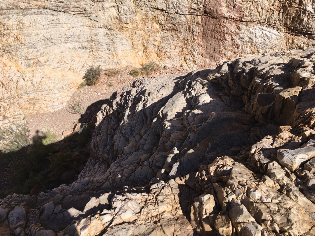
The Escalante probably had more moments where I was worried about losing my footing and sliding over a ledge than the Beamer did, its just that the ledges were lower through still plenty high to kill you.
75 Mile Creek had some really great coloring and after walking it’s rim away front the Colorado, you get to walk back through its narrows.
It was in these narrows that I met a 60+ year old who was out for a solo hike. It was about lunch and we got to talking and eventually decided to hike past Papagos together since there’s supposed to be some climbing and sketchy descending in that short stretch. The NPS description mentions a haul line for solo hikers and I’d rigged one preemptively this morning. My retired companion, however, didn’t have use for one and so being half his age with half the pack weight, neither did I. It’s good to have role models.
We parted ways at Red Canyon because I had more miles to stay in itinerary but before leaving, he mentioned having run across the “lone survivor” of a party of five who had been hiking the Beamer Trail the day before. They’d been forced to divert onto a very sketchy high water alternate (sounds familiar). Two bailed out at that point. One took a serious knee injury and got helivac’d and another rode along because he’d had enough. It’s a good reminder that it’s really easy for things to go wrong in the Grand Canyon and not very easy to self evacuate when they do.
On paper, today is the most logistically difficult day of the trip. The rafters I met yesterday made life much easier.
Things started by continuing the game of hide and seek with the use trail which headed south of Nankoweap. Per Skurka’s notes it does “fade” after Kwagunt Creek but it doesn’t really completely disappear except where the slope is just rocks.
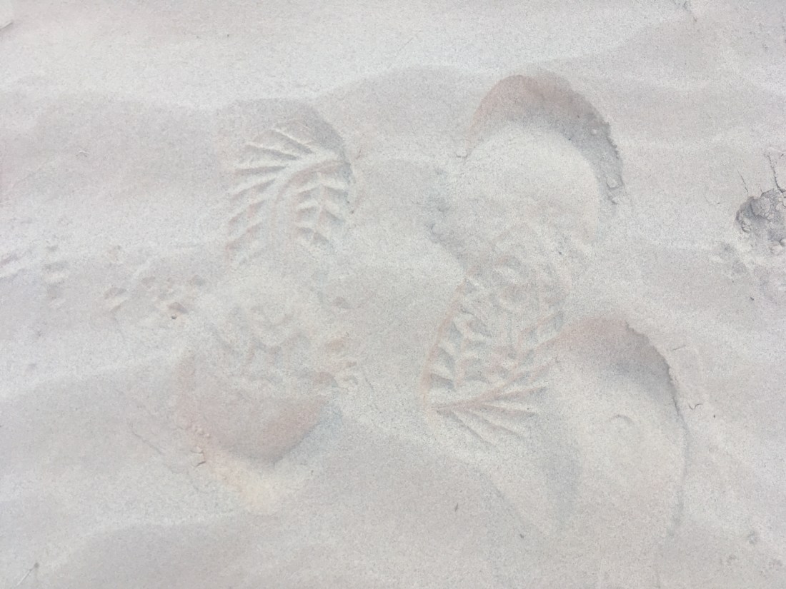
Where there was sand in the deltas where a side canyon joined the Colorado, I would see familiar footprints. Curiously, in several places they seemed to be coming and going.
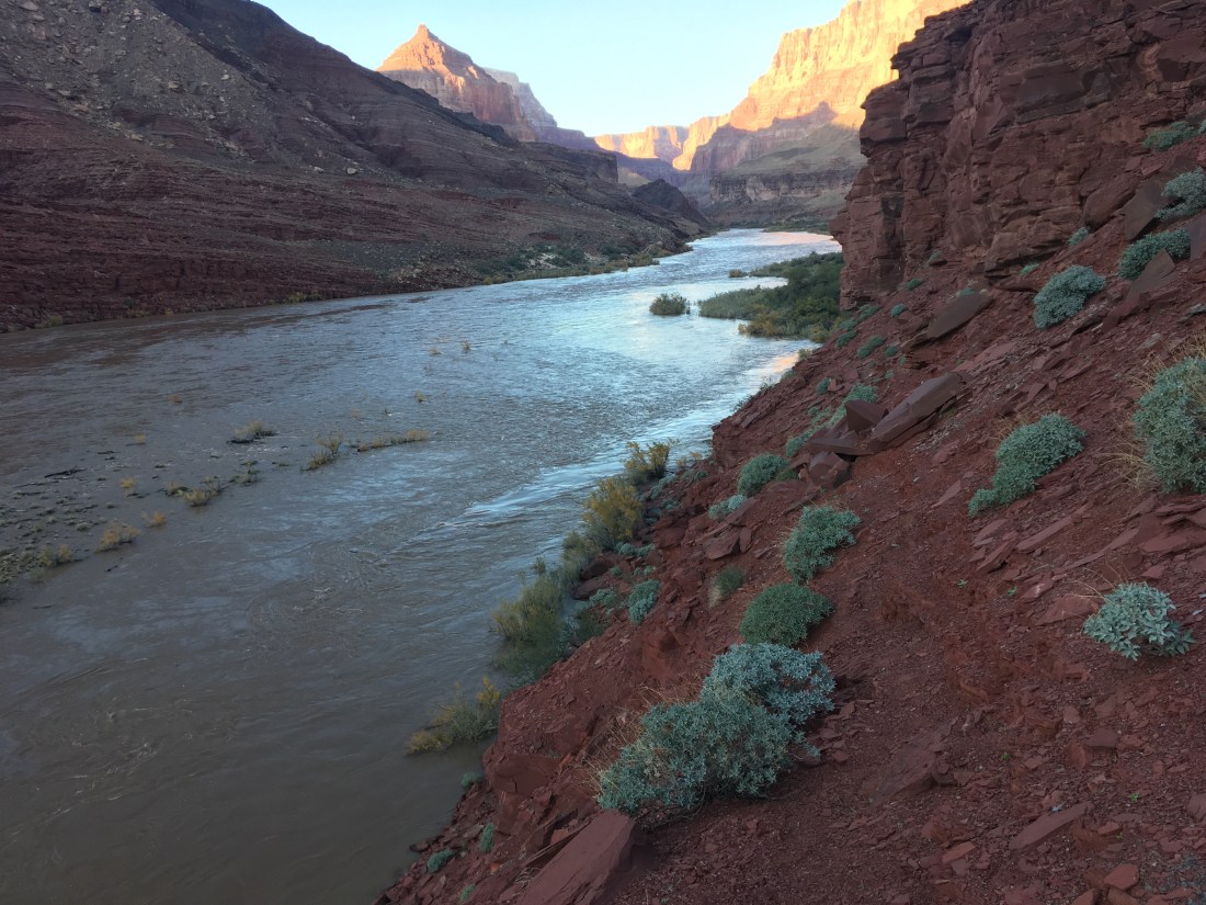
There are two spits of land which break out of the increasingly steep river banks south of 60 Mile Creek. The second is the recommended point to hitch across but I stopped at the first as the high river level would have forced me to take a more difficult and sketchy route to get to the last beach. The footprints lead to the water which means that the normal route here was submerged by the high flow experiment. There were a few places where you could make quick progress across shelves but things got harder with distance. It stuck me as interesting that I could usually see my next waypoint up to a mile down canyon. With nothing obscuring the view, it was enjoyable to feel a sense of forward progress even when the going was slow.
The wait for a rafting party was short given how long some have waited, only about two hours. It was relaxing but strange to be on trail with nothing to do. I packed away my phone so it wouldn’t get wet and let me feet and socks dry.
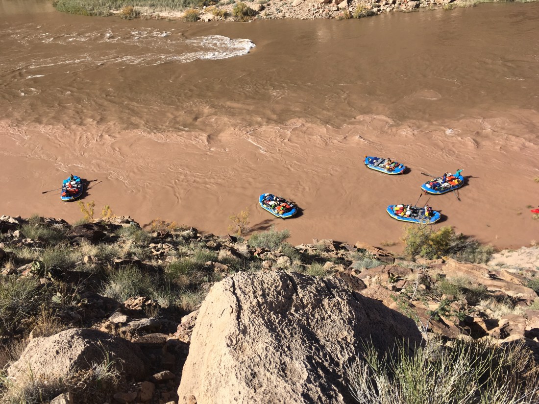
Eventually a rafting party appeared around the upstream bend and I watched them bump through the 60 Mile Rapids with kayaks in lead. I shouted at the kayaks that I was looking for a ride across. It was hard to confirm understanding but they eddies out south of the beach and I recognized some of them from yesterday. It seems they were expecting me as I heard someone say that this was the hiker. The rafts eddies out north of the beach and so began the first of several sight miscommunications as I tried to recommend the south eddy while they just kept waving me aboard. The raft which took me on, and gave me a beer, was captained by one of the fellows in the first group I’d run into the day before. They got me a life jacket from another raft which took a little coordination. I began to feel like a nuisance but they were extremely friendly and as we pulled out into the current everything felt wonder. Water is a very different medium job which to travel than land.
The current was fast due to the HFE and were close to the eddy near the normal drop point. The captain said it might be easiest to drop me there. At this point I brought up that my next move would be to ford the Little Colorado and if it were impassable I would have to wait for another raft. I had mentioned the need to cross both rivers when chatting with the rafters yesterday and they’d seemed open to the possibility of doing both hitches. My captain smiled and said, “we’ll get you where you need to go”. I felt the guilty delight of someone who is definitely taking advantage of a stranger’s kindness but also really happy about the outcome.
Then things went awry. I hadn’t researched the proper drop point for a hitch from the left bank of the Colorado to the left bank of the Colorado across the confluence with the Little Colorado. The NPS description of the Beamer Trail says you only have 1/4 of a mile after the confluence before the trail is inaccessible from the river due to cliffs. If we couldn’t find a eddy quickly enough, I’d be stuck as an unlisted member of the rafting crew. At the confluence, there’s a small sand island. The rafts tried to catch a difficult line to get above it which would get them near a clearly visible access trail. Two of the lighter rafts made it. I think my extra weight made it particularly hard for my paddler to flight the current enough to catch the smaller around to the far side of the island. The captain made a quick decision and we landed on the island without eddying out which impressed me as there was some timing involved among multiple people.
I got out and ran to the north side of the small island to see if one of the rafts or kayaks beached there could get me across. I had to wade out a bit so I could understand what they were yelling back but basically, the current was too fast around the top of the island to get me to the visible access trail. In my mind this was a huge problem because low cliffs which weren’t obviously scalable started immediately thereafter.
When things don’t go according to plan my instinct is to take control, made a plan, and execute. At this point, I had no idea what even might be done and had hugely inconvenienced these rafters. My raft’s captain said he’s heard one of the other rafts yelling, “ferry” and we tried to push through the bushes, currently below the waterline, on the left of the island to find the ferry raft. It was waiting for us at the bottom, its captain had me get on as the only passenger, and used the island as a buffer to get a little bit of a start on the up-and-across vector you have to paddle to fight the current pushing you down stream. The other raft which had made it around he island had spotted a slope with only a few thin ledges which ran up through the cliff band. This was the same guy who had noticed the day before that the shoulder strap stain on my shirt was darker on the right shoulder. My new captain actually had to shout to the other raft as to whether there was an eddy above or below them. There had been some discussion about if we’d have to do a “touch and go” where I jumped out with my pack while handing back the borrowed life vest. Ultimately “we’re gonna make it” overruled more complex and risky ideas and we’d launched without, to my knowledge, a landing point or plan B. What a hero.
We landed, secured the raft, I retrieved my pack, returned the life vest, and was guided to the break in the cliffs where, after a trying to express my gratitude, I began the scramble which in a hundred feet or so lead to the trail. As I looked down, the rafts regrouped in a large eddy under the trail which had been just out of sight. In an ironic twist, it appeared to have an even better slope up to the Beamer Trail. The whole ordeal with the island hadn’t been necessary.
From this point, I was on real trail again and it was great. The Beamer is known for having lots of exposure but where it does, the footing is good.
The Beamer can get sketchy but that is usually where it turns in to pass through a drainage and the exposure is less. Usually.
There was a maybe 30 foot section the trail was the width of both you shoes, with rocks on the uphill side which prevented you from leaning away from the vertical cliff face a few inches to the downhill side of the trail. Still, it wasn’t scary enough that I forgot to breathe. I just became hyper focused on my footing and motion. At one point there was a split in the trail coming out of a wash and I took the higher route because it also had cairns. The lower, parallel, route looked like it might have had the opportunity for some sketchy and exposed bits and so perhaps that’s where the Beamer’s reputation comes from.
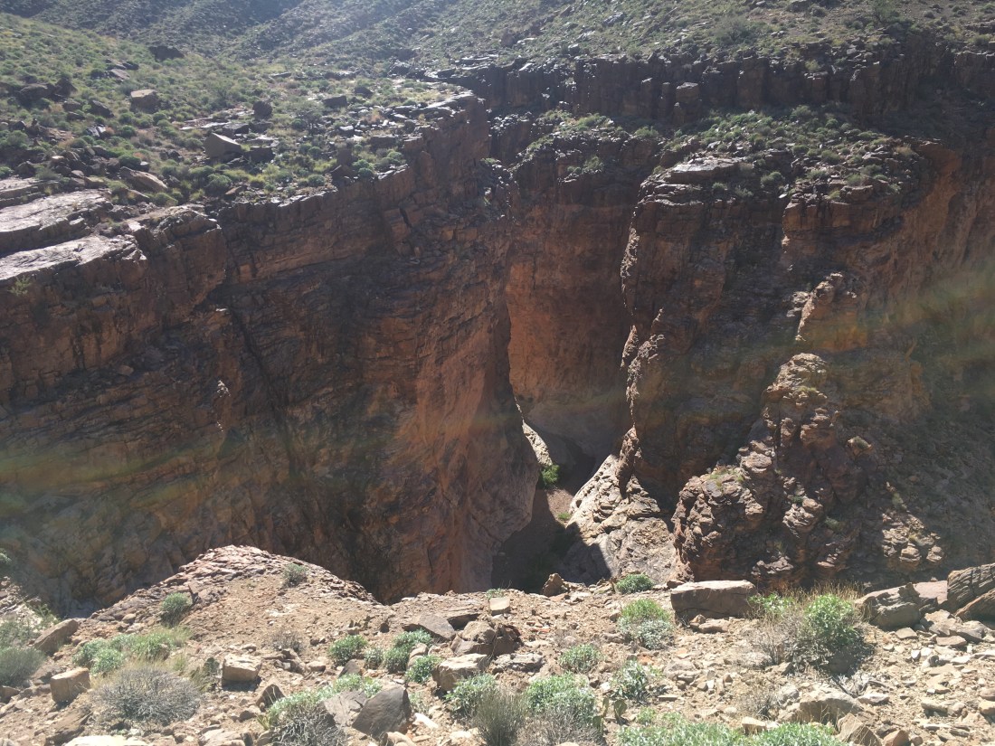
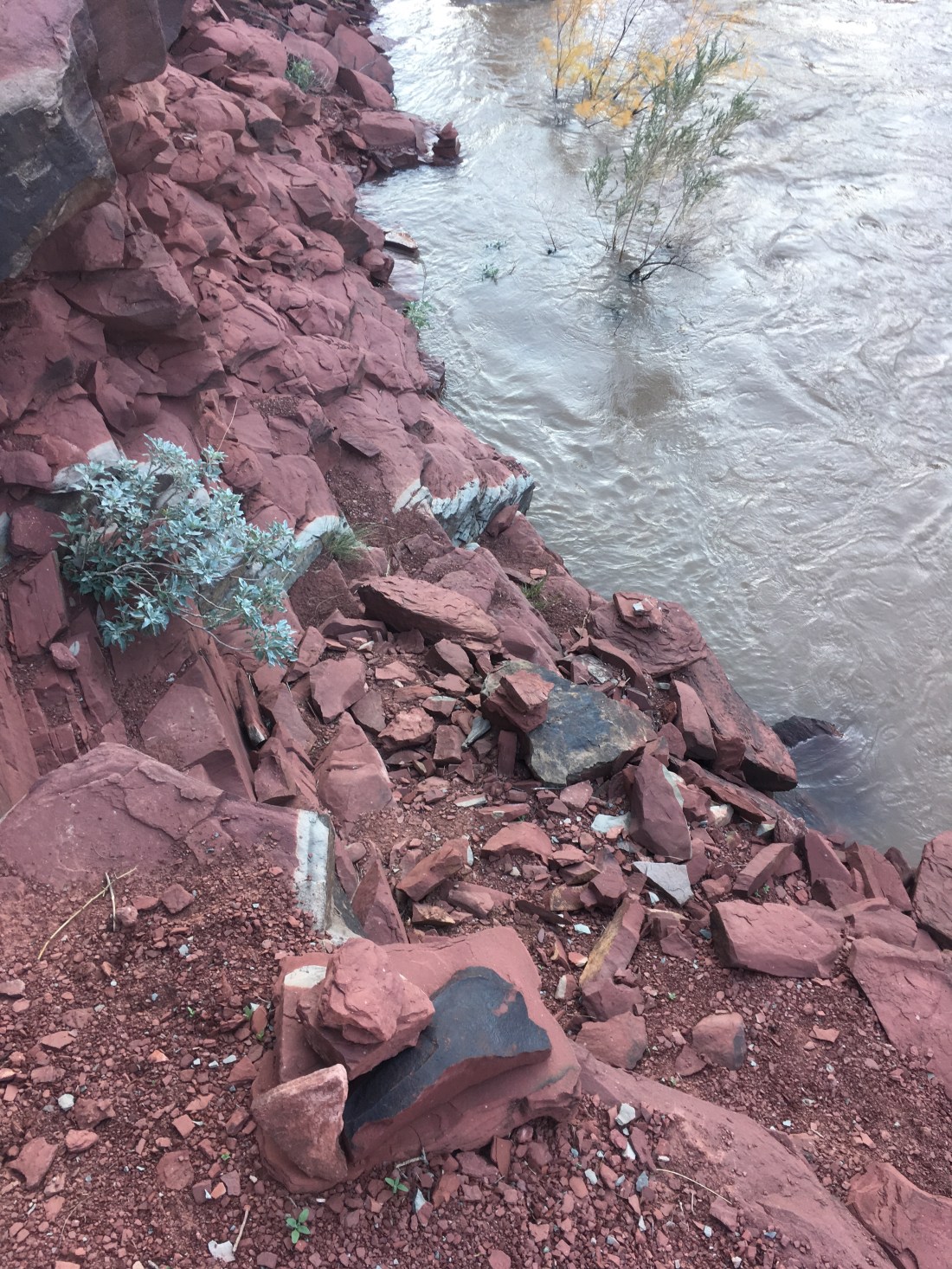
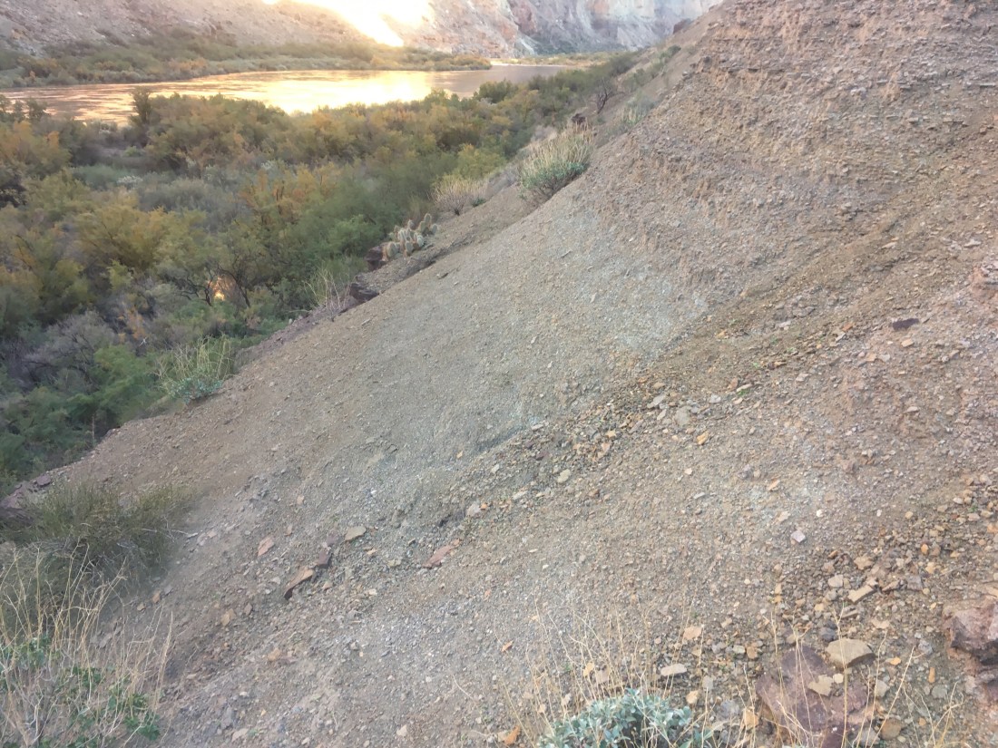
Once the Beamer descended to the beach, I briefly had to take a high water alternate which was sketchy and exposed. With the high water, the normal trail was flooded and the bank was so narrow under normal conditions that the line of the trail on my map actually went through the water.
The cairns lead to a trail submerged due to the HFE.
I wound up not quite making it to Tanner Beach that night because there was a second cliff band on the map and with 10 minutes before dusk I didn’t want to risk needing precision footing in the dark.
Today went swimmingly. It look less time to get to the Nankoweap trailhead than I thought, less time to get to the Colorado River, I made contact with a pleasant rafting party and made plans for tomorrow’s cross river hitch then made it part way to the hitch point.
The Nankoweap Trailhead is in the middle of a different trail which is wild enough in it’s own right that it’s surprising to see more than just a simple sign. Also, there were a bunch of great campsites just before the trailhead which had huge views and would have been exposed but were probably low enough below the rim to be protected from wind.
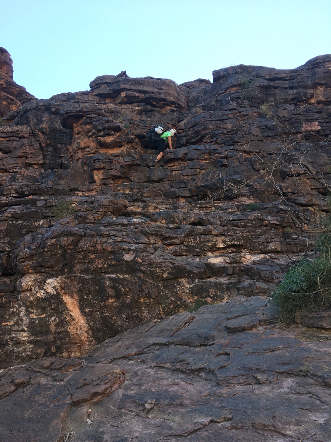
The Nankoweap trail itself somehow felt familiar somehow like hiking in the Cascades despite it clearly being very different. The level of trail maintenance wasn’t high but it was in pretty good condition. The start was a long traverse with views across many points and bluffs and ridges. The Colorado itself was out of sight the entire time save for a small glimpse before the last descent. Footing wasn’t generous but was reasonably firm when there was significant exposure. The NPS description mentioned descending cliffs using trees. In practice it’s just that the steps down are just a little too large so you have to sit on the rock above and lower yourself the last few inches with a tricep dip. Using the tree was unnecessary. There was also no exposure while doing this.
After the main traverse is a descent which is noted as being steep with loose gravel. Skurka’a map uses the phrase “ball bearing”. This is all true but my imagination had invented a much worse scenario. I did splay my feet out a few times for better traction and may have taken a side step or two but the conditions were the same as any other trail I’ve been on which was similarly steep and more a dirt and gravel slope than stone steps. Importantly, the trail was well cut and clear without much exposure when the footing was tricky. The two big descents dove through a number of different types of rock. They wound in such a way as to dodge cliff bands which had the effect of varying the view a great deal. Lots of fun.
Shortly before Nankoweap Creek met the Colorado River, I saw some hikers ambling upstream with daypacks. They were from a rafting trip and had gotten to see the river rise rapidly (“an inch up the beach per minute”) last night. We traded trip tails and the agreed to get me across the river tomorrow if I’m at the recommended ferry point.
I ate lunch where there was shade as the rafters mentioned shade being hard to come by. Just after starting back up, I ran into a bunch more of their group and did my best to be charming while dropping hints about needing a hitch across the river to tomorrow. They offered to let me leave my trash in their trash bag when I passed their camp.
There was an old woman in camp who introduced herself pleasantly and emptied my zip lock of rubbish into trash and recycling. Her husband came up just as I was about to leave and I repeated the explanation of what I’m up to for the fourth time in two hours. So much human interaction. They actually offered to let me camp with them, join them for dinner and breakfast, then ride down to the Beamer Trail with them. Wow! I declined as my permit is only good for 8 river miles in a raft but it sure was tempting.
For the last part of the day, I got a head start on the hike to the ferry point which is about 9 miles down river from where Nankoweap Creek joins the Colorado. There was an unmaintained trail which jumped around a great deal but was ultimately a great help. Apparently it ends after Kwangut Creek where I’m cowboy camping tonight so tomorrow will be a cross country race to beat the rafts to the ferry point. I lost the “dodge the cactus” game at some point but didn’t realize it until I went to figure out why my lower leg was feeling a little bruised. There was a little blood seeping through the boot zipper of my pants and the spine was still embedded. Just a prick but it made me feel like I was tough.
Also, I learned that when the dirt of a slope is packed just right, the trail can continue over it almost invisibly and at a slope which I would have thought was too steep to walk on.
What a good day. Hopefully tomorrow is another one.
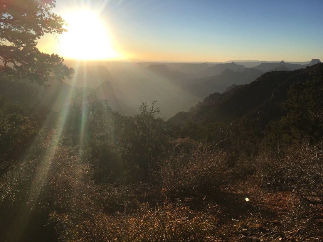
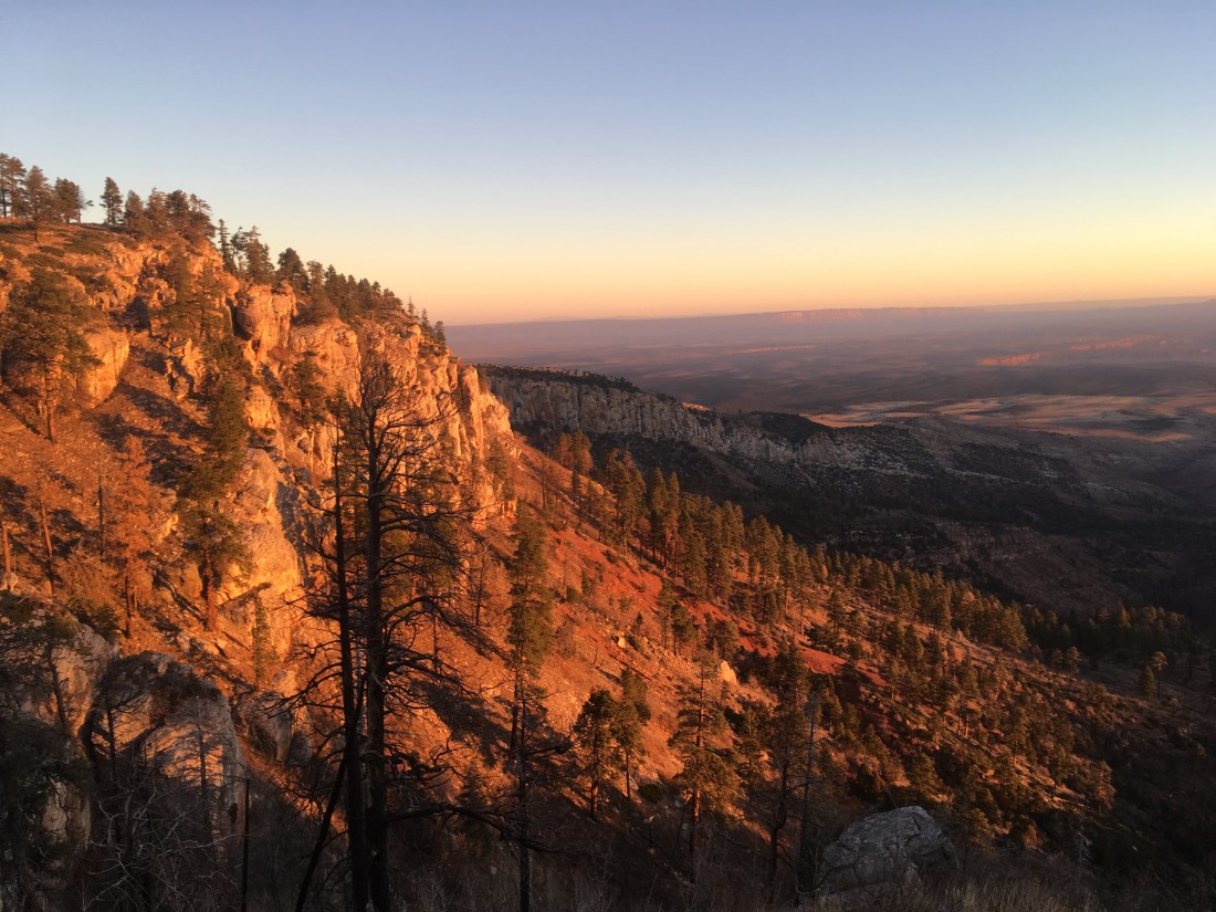
Just after collecting water and hitting the trail, I came to the East Rim View with fantastic, sheltered campsites and the best view I’ve seen in days. I’d stopped a little early last night thinking this would be exposed and kicked myself for not at least checking it out.
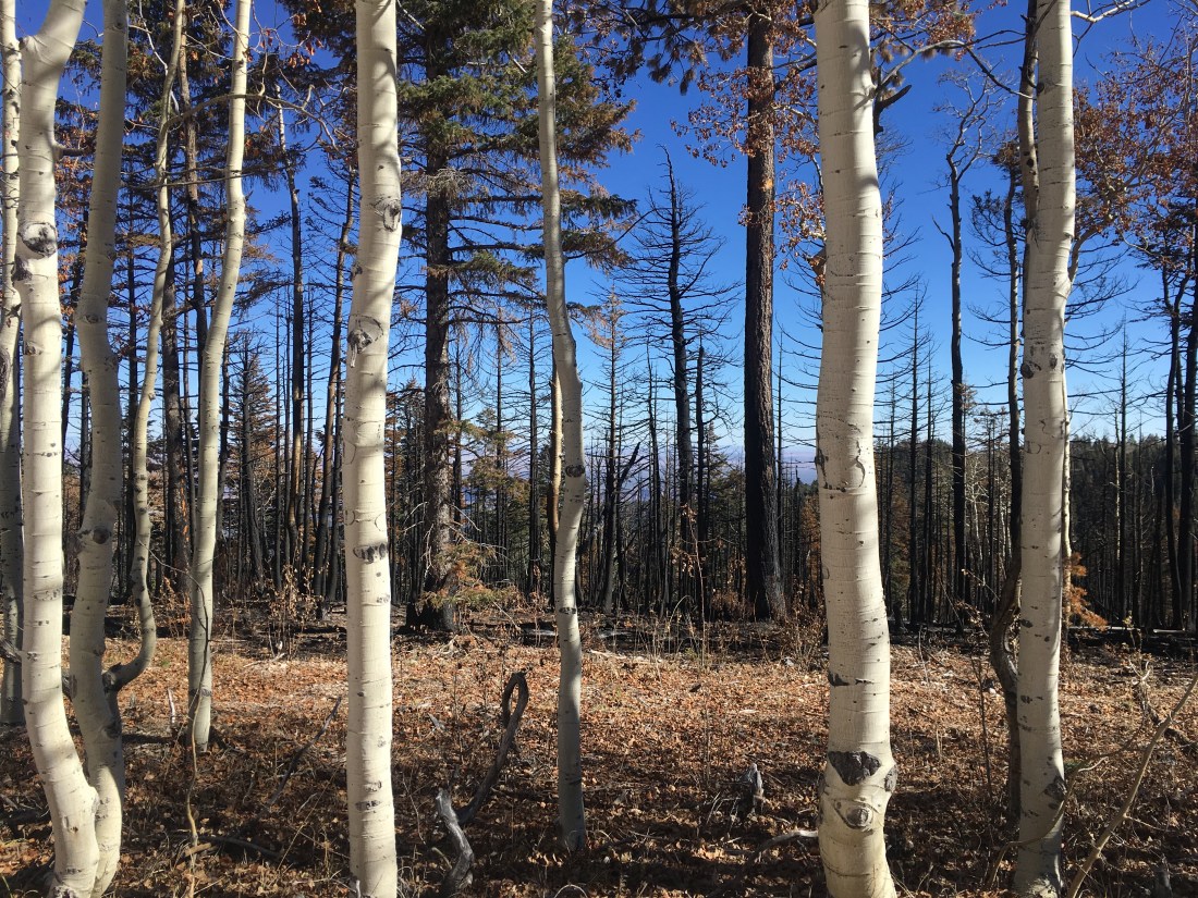
After that it was just more pleasant dry meadow walking with short stints in pine or aspen groves.
I’d drawn water this morning for most of two days which turned out to be the correct decision as the several springs and tanks throughout the day were dry.
After diverging from the Arizona Trail onto a wide dirt road and walking it for a few miles, the Grand Canyon finally came into view.
Today was a pretty short mileage day since my Grand Canyon NP permit starts tomorrow. I camped on a large flat area maybe a mile before the Nankoweap Trailhead. The area overlooks a couple of side canyons and so I spent some time watching the shadows grow long before turning in.
I’m nervous about this whole Grand Canyon hike that’s coming up. The Nankoweap Trail, which the NPS calls the hardest named trail in the park gets no extra info from the guidebook. A high flow experiment (HFE) should be hitting the Nankoweap area late tomorrow which means that I’ll have less shoreline for the ensuing bushwhack south to the point where it’s recommended you try to hitch across the Colorado. I may need two hitches if the HFE pushes up the Little Colorado which messes with scheduling. After that the Beamer Trail (not the most difficult trail according to the NPS) gets a lot of text for how sketchy it is. Mileages in the guidebook are known to be too short. This is before the rim-to-rim and off trail stuff after resupplying. Yada yada yada. The point is that after a long time of being easy walkin’ the Hayduke is about to get hard again and that scares me.
Today was mostly a pleasant walk through meadows of dry grass surrounded by pine forests.
Shortly after setting out, I saw a small herd of maybe six deer. None had antlers which makes them pretty safe from the trophy hunters combing the area.
I passed two section hikers. They mentioned seeing water caches at trailheads. It seems strange to me that if you’re worried enough about the water situation to cache water, you wouldn’t also hide it or bury it to keep honest, if thirsty, people honest.
I ran into two mountain bikers who had passed me the day I entered AZ. They’re section biking the AZT. They told me that the wind would pick up in a few miles. I took this to mean that the East Rim would be exposed and so was planning on camping in Tater Canyon but it was so early when I got there that I went up the ridge to Dog Tank which had water and a sheltered spot to camp.


 Tracing wires, which I assume are power lines when they appear was also interesting. The lines themselves are thin enough that they’re hard to see but you can spot the posts and try to guess where they go next.