Day 117: Peek-a-boo Mountain Views

Memories from August 15

Today the trail was mostly tree covered but had a number of peek-a-boo views of Hood, Adams, and St Helens.

Even the ridge walks were tree covered.
There was a bit of volcanic rock in the afternoon but unlike other volcanic sections, the trail was mostly dirt and so easy to walk on.

This particular spring looked like it was part of the set of a horror movie. Fortunately I hadn’t planned on stopping there anyways.

And after some more children’s games played with large prominent geographical features I wound up at Blue Lake.

Blue Lake, not to be confused with Upper and Lower Blue Lakes in California (this isn’t nearly the first such instance) was supposed to only have camping in designated spots. A trip around the lake showed none available and so I wound up finding a site with a tent made of cuben fiber with a  few SmartWater water bottles lying around (sure signs of a PCT hiker) and asked if I might share the site. The residents obliged and I passed the evening quizzing an elderly swiss couple about their home country. They had just retired and had decided to hike the PCT. Their original plan was to do 15 miles per day but were now doing about 20.

Day 116: Two Baths

Memories from August 14

Today was mostly a walk in the woods. While this means no big views, my lower mileage days in Washington mean I have time for things like swimming. I took two baths today. One, a sponge bath with my bandana in the morning and the second a proper dunking in a nice creek. Since the forest is so dense, I had to dry off my just walking. It was hot enough that walking in wet clothes was a given, whether it was stream water or sweat and I was glad for the near constant shade.

The view from my campsite while drying gear from the large quantity of dew.

Bath number one.

Washington is clearly a much wetter environment than elsewhere on the trail because the density of moss in some places looks like the rocks are molding.

This was today’s one view. Forested hills with a creek (not pictured) running near the base of the ledge.

Is your favorite day spa this picturesque?

I camped with English and Tater Tot near, but not on, a river. I’ve been surprised how few of today’s streams had campsites immediately adjacent.

Day 115: Into Washington

Memories from August 13

This morning I arranged resupply through Washington, bought six days of food at the small grocery store in town, managed to fit it all into my backpack which is only 36 liters (the most common pack on the trail is 58 and its rare to see one less than 48). After buying the largest soft serve ice cream cone I’ve ever seen (it was probably a foot tall and they hand you 24oz cup to put it in but it overflows that), I headed out across the Bridge of the Gods and into Washington.

I promise that I’ll try not to post any more selfies.

Something about being in the last state on the trail and in my home state was overwhelming and I almost teared up several times in the first mile.

The heat due to the low elevation and infrequency of breeze put an end to emotional indulgence as did the hard, uneven surface of the trail in places which was a surprising change from Oregon. I’d previously removed my packs hip belt because I rarely carried been four days of food so my shoulders quickly wearied under the weight of six. However, I only have to average about 20 miles a day to make it to Canada by September 7, when I have a room booked in the Manning Park Resort, 8 miles north of the border. Since today is only a half day, I took frequent breaks, especially in cooler spots with cold water.

Eventually, the trail which has been generally been trying to escape the low elevation where it crosses the Columbia, broke out of the trees which had been hiding the surrounding terrain.

For me, Oregon was about big miles and physical accomplishment. I want to Washington to be a relaxed and introspective time. So instead of going to 3.77 more miles to where I’d intended to end the day in a small campsite, according to my trail notes by a jeep road, I just stopped, dropped, and rolled into my sleeping bag to enjoy the fire of a setting sun.

Fruit Cup came by and noted my change of pace. He’s still going to be doing big miles to finish things off which will be impressive as Washington has much more elevation change than Oregon. As he was putting in his ear buds to continue on for the night we traded real names as a sort of farewell, though he shouted over his shoulder, “but my real name is Fruit Cup” as he walked away. Trail names may be a light hearted but I’ve always know him as Fruit Cup and it made me think about how many people associate everything they know about me with the name Dairy Queen.

Day 114: Zero in Cascade Locks

Memories from August 12

Today was mostly spent catching up on overdue blog posts and getting in touch with people who had expressed interest in hiking with me in Washington. Apparently I’m not the only one who has problems with the mobile app for this blogging platform as I heard cursing from a nearby tent about dissapearing posts.

The most disappointing part of the day was when I realized that I’d written down my date of entry into Oregon wrong and so had crossed it in 15 days, failing the Oregon in 2 Weeks Challenge. There’s some cold comfort in that some people start the challenge at Ashland in which case I succeeded, though I’ve always looked down on this version and so can’t retroactively embrace it.

The Port of Cascade Locks has a very nice campground with good facilities and a pleasant view. A wedding party has rented all the car camping spots and I saw the wedding party taking pictures on a nearby bridge.

I didn’t manage to get my resupply arranged for Washington but hope to get that sorted in the morning.

Day 113: End of Oregon

Memories from August 11

The 29 miles into Cascade Locks on the Oregon-Washington border were pretty easy. I hiked most of it with Pathfinder who I’d run across shortly after starting.

The highlight of the morning was a view if Mt St Helens, Rainier, and Adams. They’re pretty far away so I don’t know how easy it is to see in the picture. The pile of stones in the right is a cairn, not a mountain.


We took the Eagle Creek alternate, like all PCT hikers (it’s closed to riders), and will let the pictures speak for themselves though the lighting made it difficult to get good shots.


At the Eagle Creek trailhead, there was a man and woman who asked if we were PCT hikers and offered donuts. I recognized the man as the hiker with the smallest pack I’d ever seen who passed me shortly after Ebbet’s Pass moving faster than I’d ever seen walk without great exertion. He introduced himself as John. The woman introduced herself as Carrot and since I had asked how they supported themselves since they were both clearly experienced hikers mentioned a few things and finally that she did some writing. She’s the author of  Thru Hiking Will Break Your Heart. I was tickled as it was my first time meeting the author of a book I’ve read. I talked with them for a while until other hikers showed up. One of the best moments in the conversation was when John, a very accomplished hiker, talked with honest amazement about people who carry heavy packs (40lbs). He’s a very down to earth person and it was amusing hearing the same honest surprised respect in him about others which many others would have about him.

Finally, I walked down a bike path (by chance with Chance, another hiker), under the highway, and to the end of Oregon.

Day 112: Breakfast at Timberline

Memories from August 10

The much renowned Timberline Lodge breakfast was excellent. I’ve been waiting this entire trip for it and was a little disappointed in only managing three trips back to the buffet tables. Most of the PCT hikers were put at one table which made for good company and conversation as I only knew half of them. At some point Star appeared, wide eyed, and almost unblinking, and announced that she and Fruit Cup had hiked 100km in the last 22hrs and 100mi in the last 48. She then proceeded to gather far more food than she was able to eat. We counseled her to consider a brief nap before conducting any business of import. Fruit Cup appeared shortly thereafter apparently unaffected by their exertions. Neither’s natural penchant activity appeared abated.

I ran some internet errands from a soft chair in the great room, deciding eventually that my shoes would probably hold up through Washington and that I didn’t need to order another pair. Eventually, I moved on, unsurprisingly stiff given yesterday’s activity, before the lunch buffet tempted me to stay into the afternoon.

Timberline Lodge is a wonderful place, as this trail sign points out, it’s right next to paradise.

The trail was narrow and frequently along precipitous hillsides. This sometimes added an event of excitement when passing the many day hikers and overnighters. It also had somewhat more elevation change than most of Oregon but as today was for recovery, I took them as slowly as I liked which made the afternoon pleasant.

With no fog, Mt Hood was visible where the trees separated.

I ended at a small campsite on uneven ground squeezed in near two other hikers on a steep hillside. Someone had recently left unburied excrement, complete with toilet paper at one end of the amorphous campsite and no one wanted to deal with it. Usually, I would have walked on as campsites are plentiful. Steep hillsides like the one we were on are the exception and I was sore. I’ve never seen unburied human poop or toilet paper on parts of the trail which are remote enough to be outside the range of a weekend backpacking trip and as we were half a mile from a forest service road, this was no exception. Darn those uneducated day hikers! And near a water source too! In hind sight, we should probably have buried it.

Day 111: 50

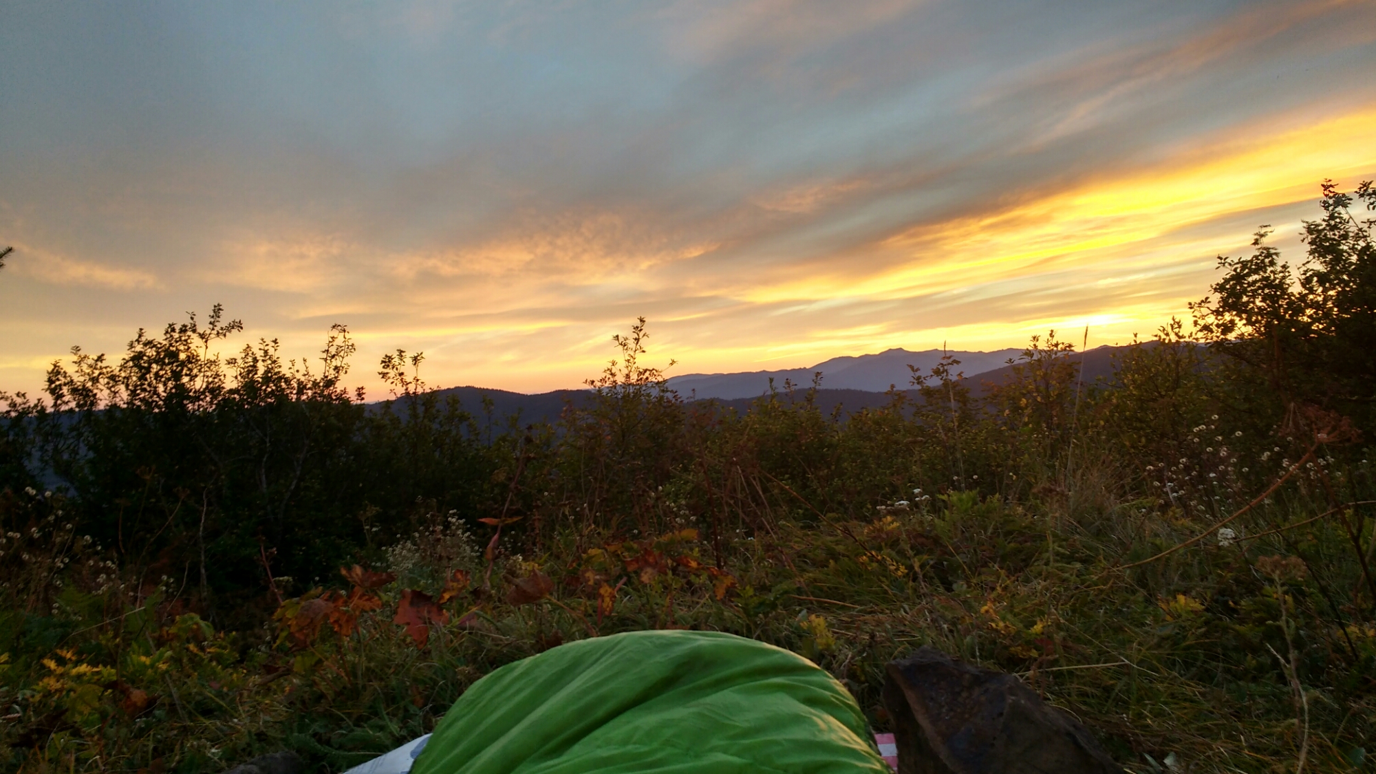
Memories from August 9

Like yesterday, today had an enchanting atmosphere filled with various sizes of water drops. Unlike yesterday, this had a practical purpose as it kept me cool during a challenge to hike 50 miles in one day ending at Timberline Lodge. Timberline Lodge is renowned along the length of the trail for its breakfast buffet and doing a 50 today let’s me be present for the most anticipated meal of the trip. I’ve heard of other people doing distance challenges into Timberline and so it seems an good way to check off my goal of feeling like I’d made a real physical accomplishment on the trail. 

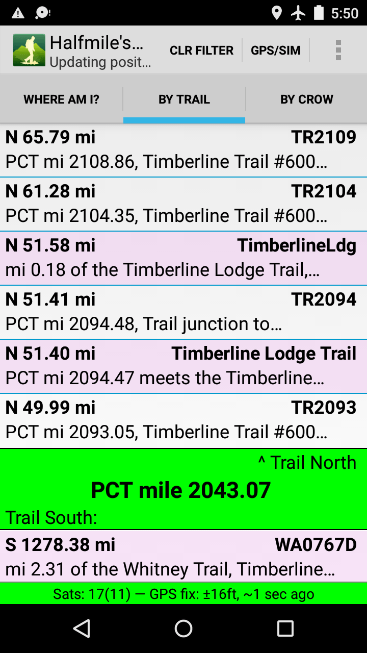
Here’s a screenshot of the app I use to track waypoints on the trail. It’s 5:50am and the app is filtered to show that Timberline Lodge is 51.58 miles from where I started near Olallie Lake.


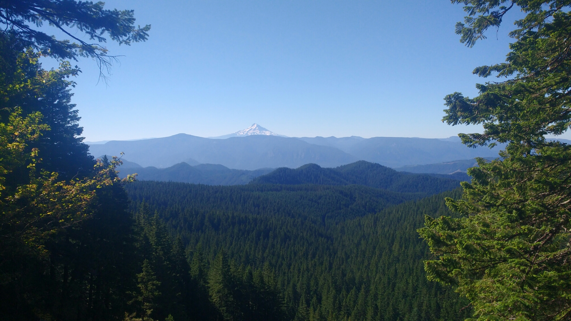
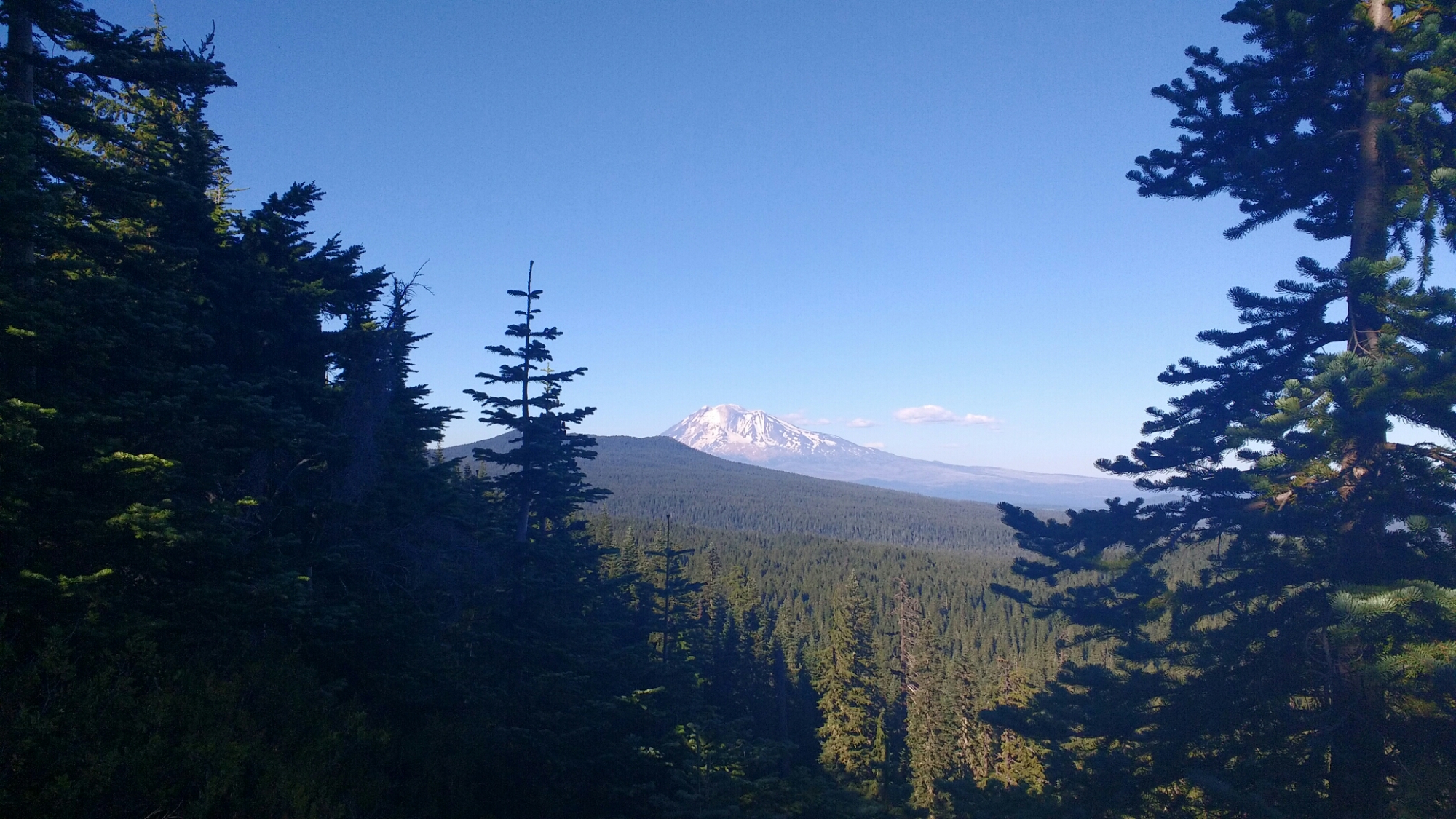
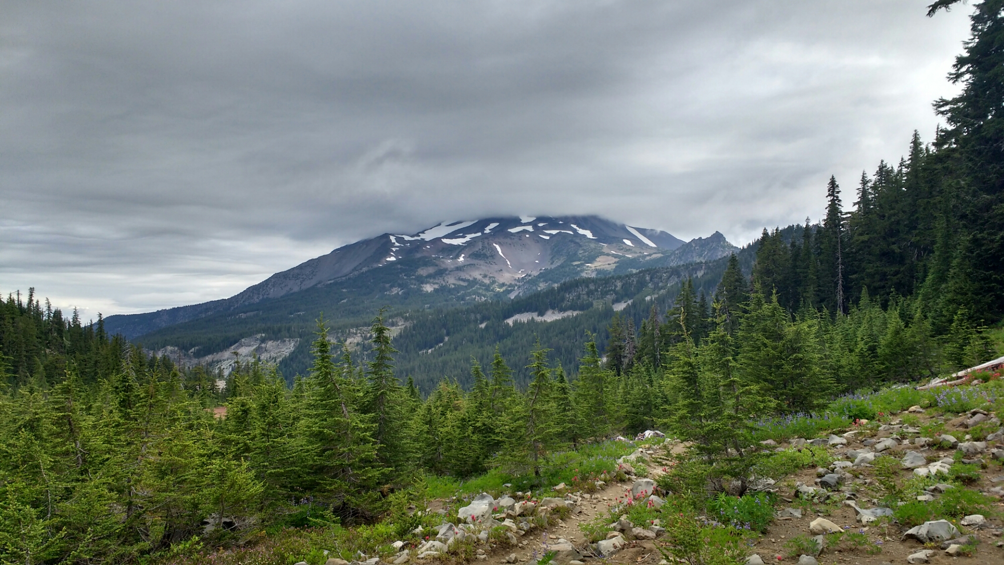
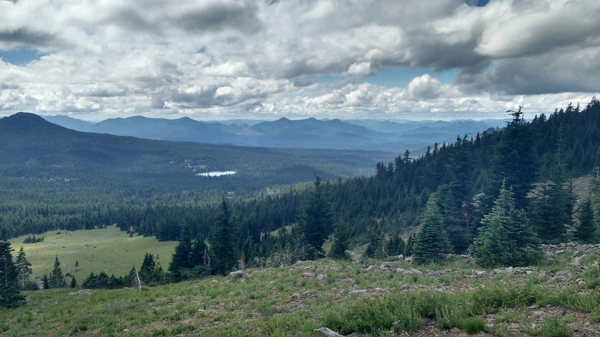
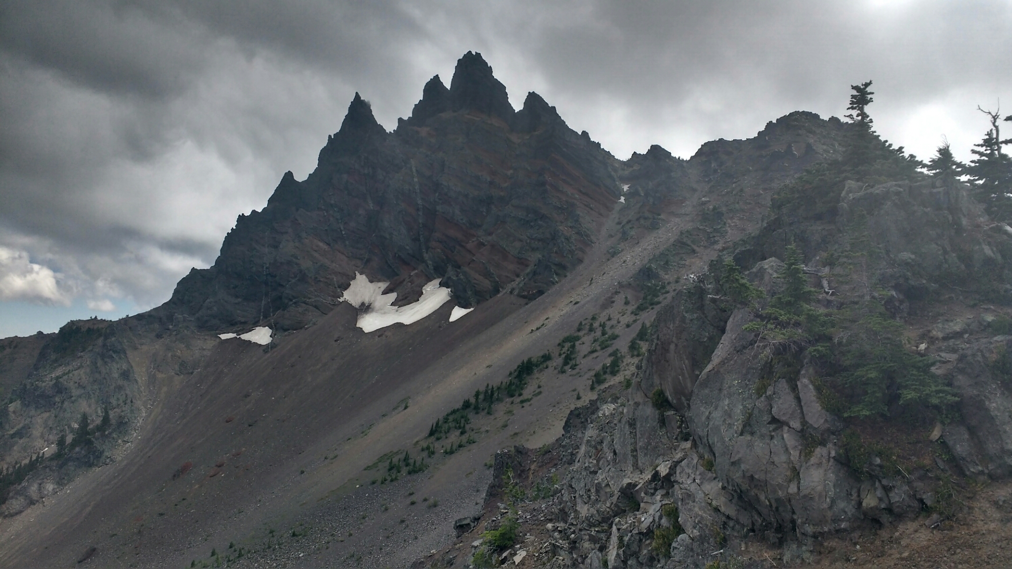
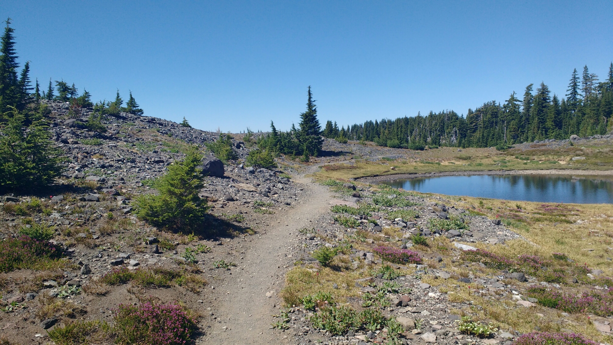
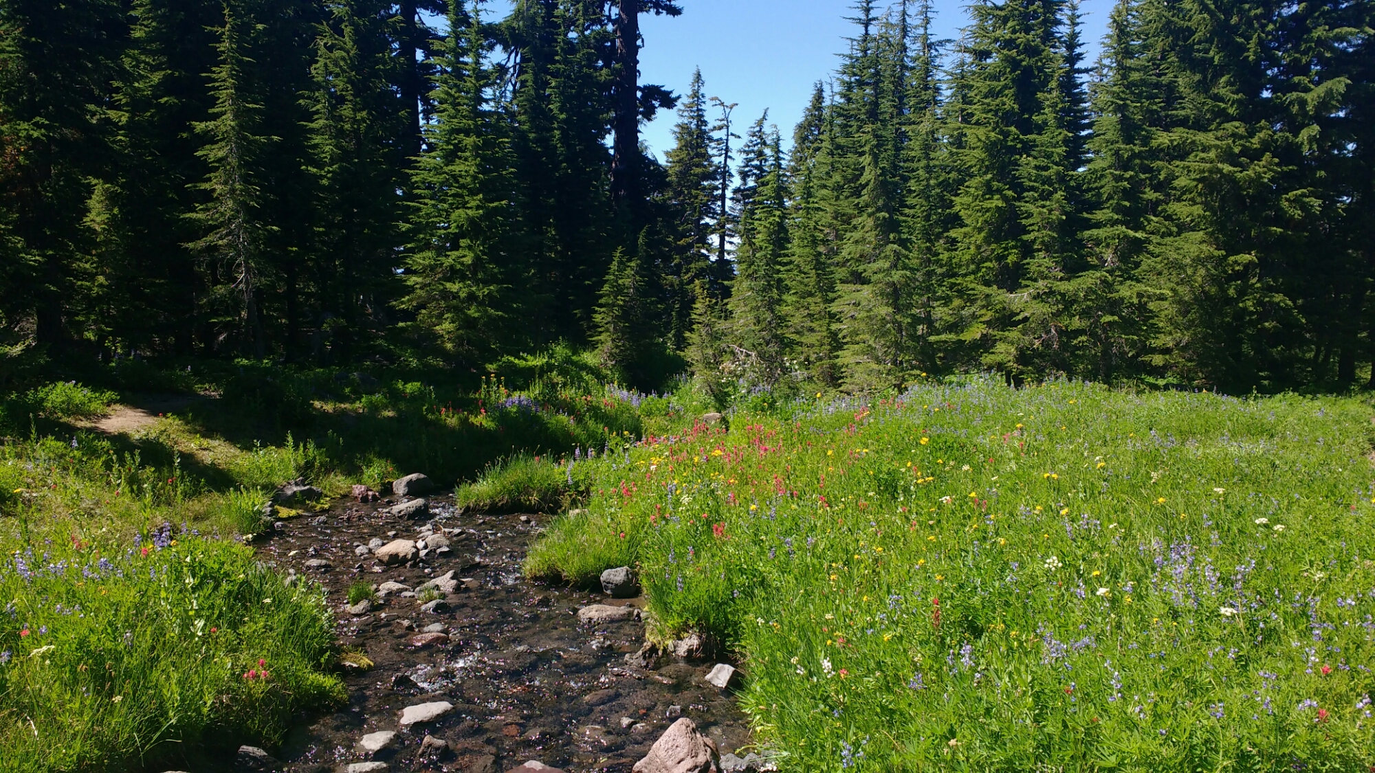
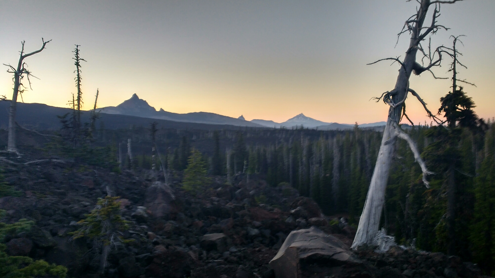
This was a good stretch to do a distance challenge since the scenery mostly looked like this.


With a few exceptions: 

The morning was mostly downhill with several thousand feet of decline coming slowly over about 20-25 miles. My strategy was to run (ie slow jog) the downhills, try to maintain a pace of 3 miles per hour on the uphills, and use the flats for recovery if necessary but ideally for hard hiking. With so much downhill at the beginning, I made 15 miles by 9am, 19 by 10am and 26 by noon. With such promising progress, the challenge shifted to be whether or not I could make it by dinner which was particularly interesting as I didn’t know when dinner service ended, though I assumed 7pm. As I hadn’t packed a real dinner, just bars, this would be a real treat.
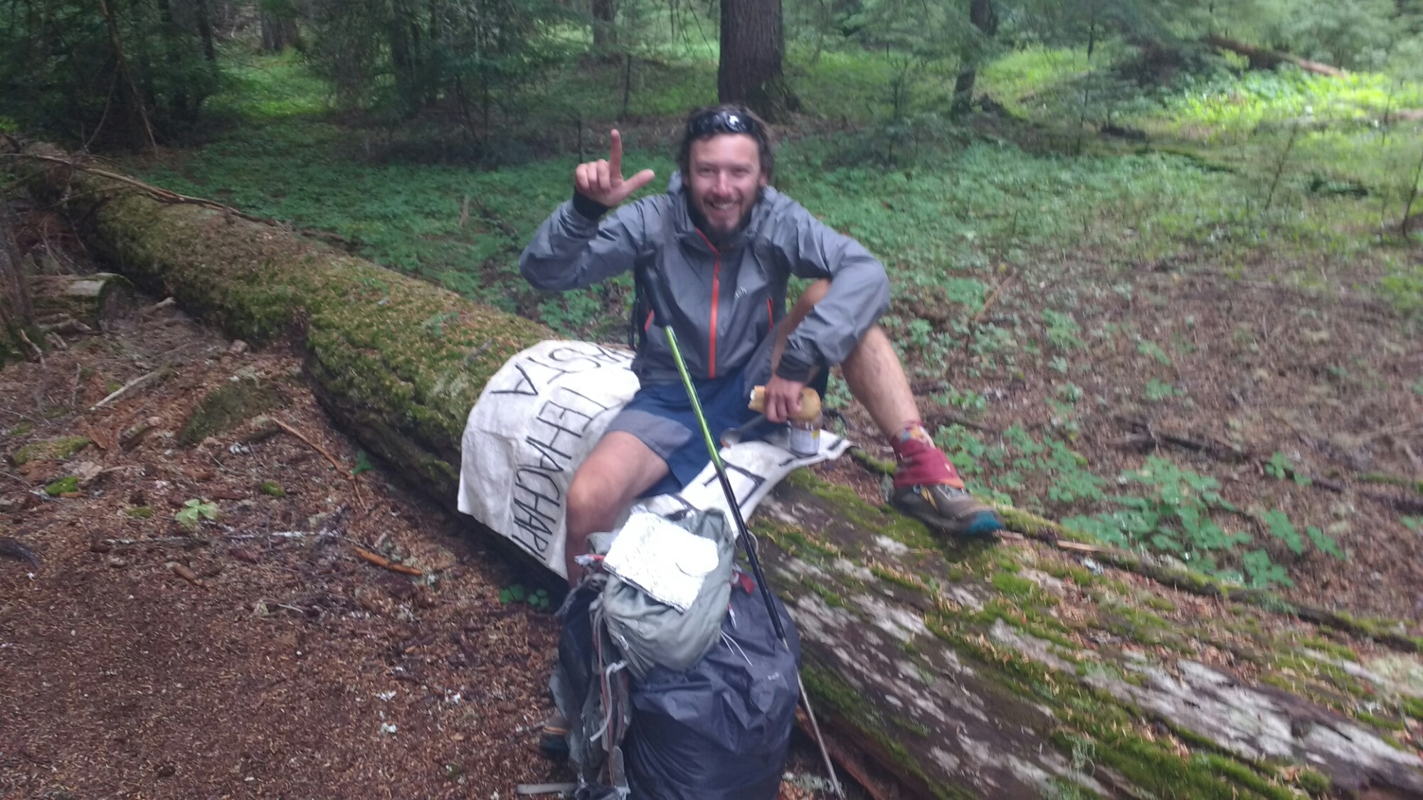
In the early afternoon the trail leveled out and I started running across people who I hadn’t seen since the Sierra. I last saw Copilot, for example, crossing Bear Creek.

I also got to run on a boardwalk. It wasn’t quite like Santa Cruz through.

I ran into a couple of trail angels who have me some Oreos. This wound up being a big help as I’d run out of snacks that I could reach without stopping and taking my pack off.

The uphill kicked in with 15 miles to go. By this point I’d lost the morning’s abundance of energy and my hamstrings were getting pretty tight. Still, I made it to 40 miles by 3pm with little running since noon. At this point, despite the about 2000ft of climbing remaining, I felt like things were in the bag. The trail remained soft and after crossing a busy highway, I managed to keep pace up a slope and only a long level stretch which got me within about five miles. I’d been getting hungry and was out of accessible snacks but didn’t want to eat because I wanted dinner at Timberline to be that much more amazing. Crossing another highway, I drank the last of my water and started up what I thought was going to be the big which climb I’ve heard people mention leads into the lodge. While generally upwards, the big climb didn’t materialize but about 2.5 miles out I was beginning to notice my vision would go slightly blurry and, while not dangerous, I’d have to consciously focus to sharpen the picture. Despite being so close, I stopped for a few minutes and drew water from a stream running under the trail. I still didn’t eat because I didn’t want to spoil my dinner but at this point, a five star chef would not have been needed to make me think I was eating from God’s own table.

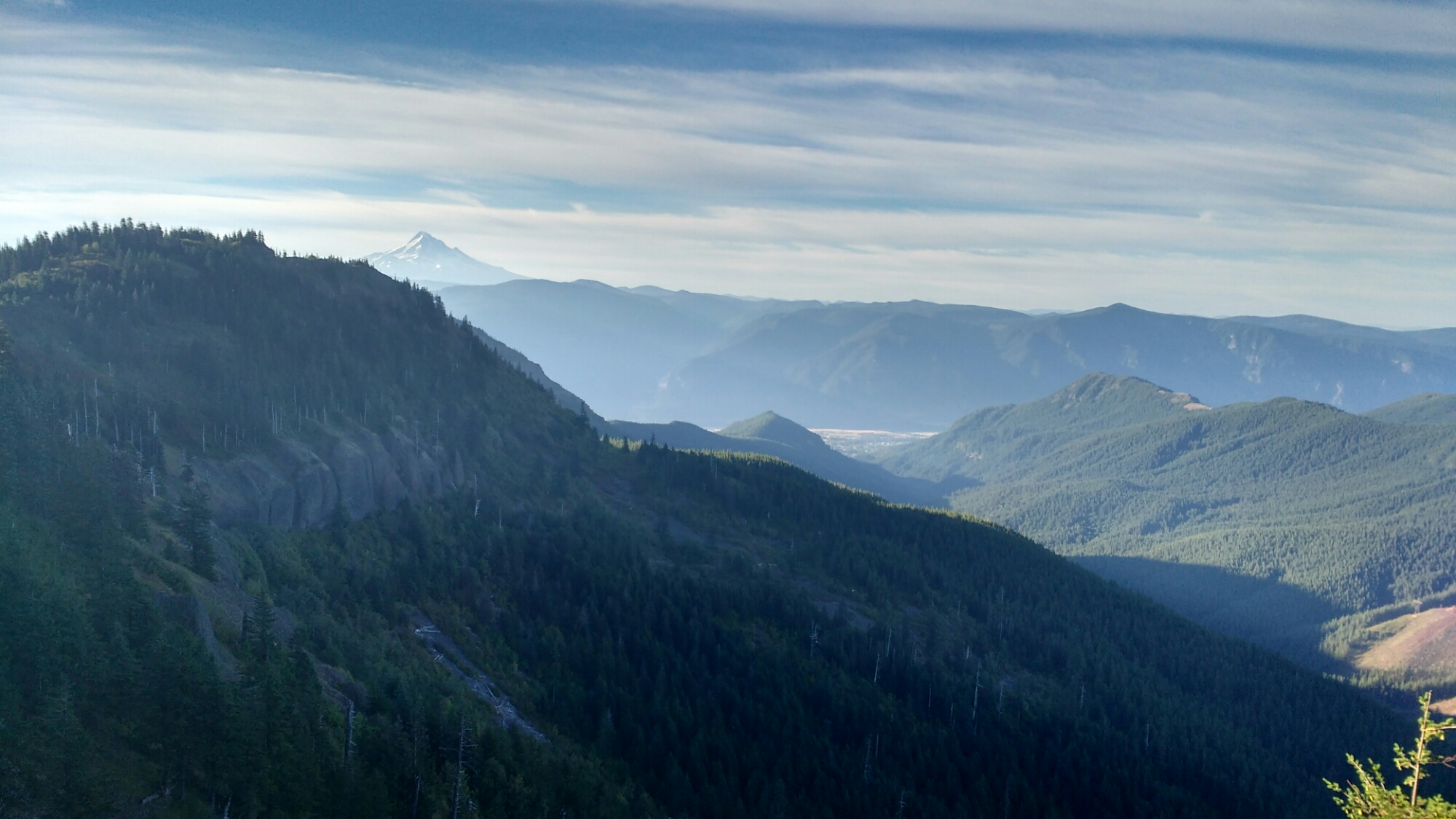
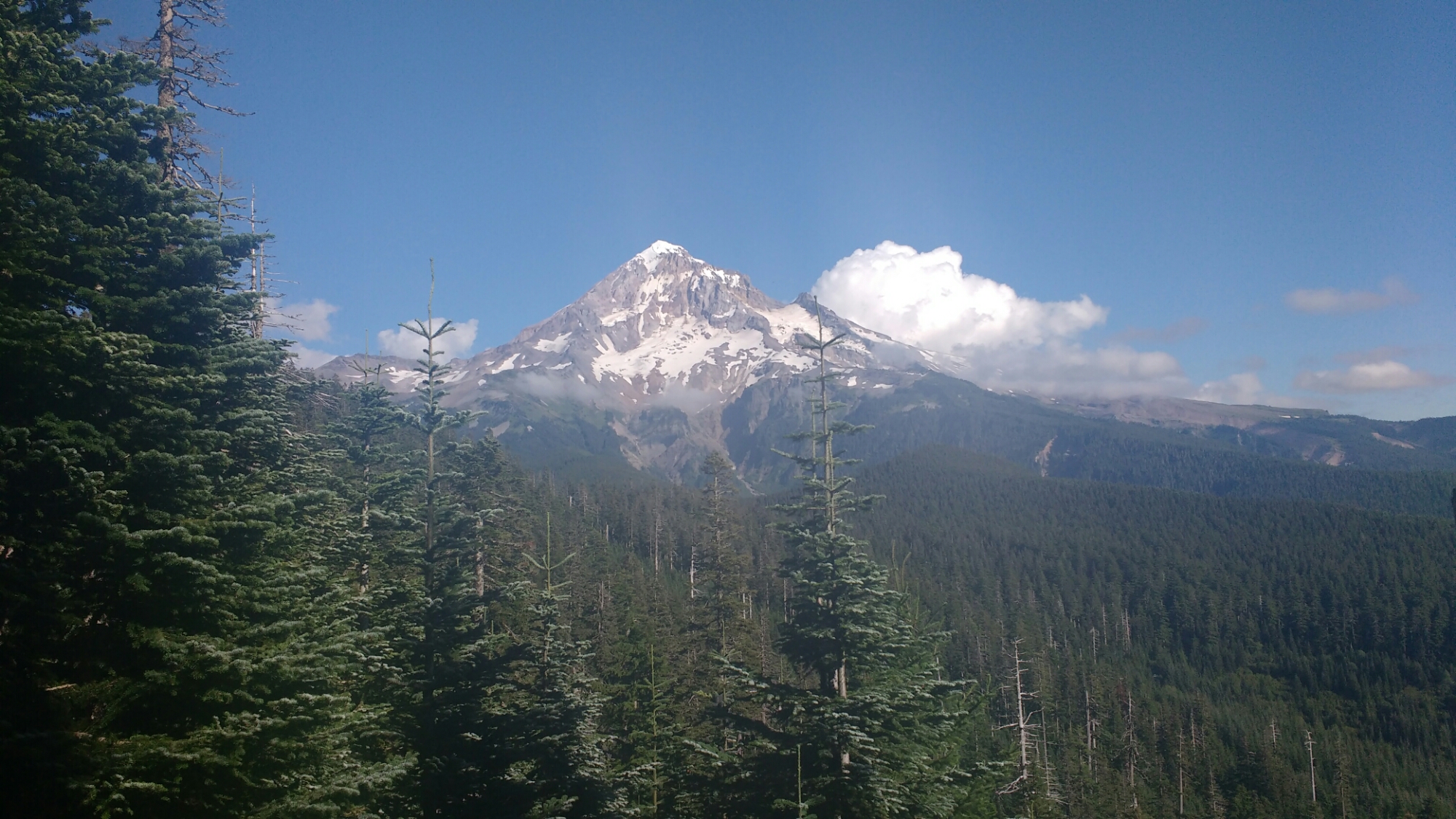
Finally, with a little over a mile left in the day, two things happened. First, I found the big hill. It’s not actually that big but it is covered in sand which is miserable. Second, I started to bonk. For the uninitiated, bonking is when you run out of energy because there’s no fuel easily accessible to your muscles. You can still move the muscles but there’s no power behind them. You can put one foot in front of the other but it can be a struggle to lift yourself onto thr forward foot. I’d been traveling at a minimum of 3 miles an hour and suddenly became very worried that I would be able to make the last mile in the more than an hour that remained. (Mt Hood is in this picture on the right, in fact, I’m almost right under it, the fog completely obscured it).

As I was taking yet another small break to check my iota of progress since my last GPS check, Flip Flop came up behind me. I’d passed him just before the last highway and was surprised to see him again. Pride, though it may come before a fall, has its uses and as I didn’t want to look as slow as I was going in front of a guy I’d just passed, I tried to make a good show of it. Over dinner, he told me that he hadn’t passed me because I wasn’t looking good. Either way, it got me the last little bit to the lodge.

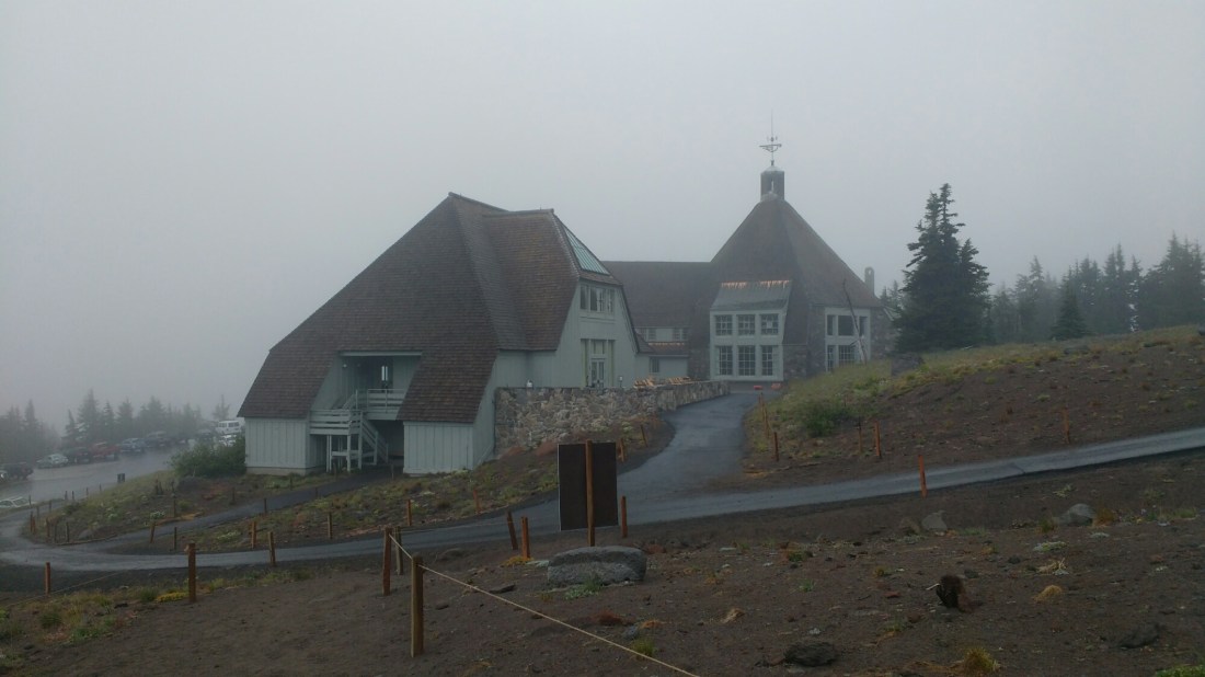
At 6:20pm this most beautiful sight came into view. I was chilled from the wind which the final ridge walk had exposed us to. I felt hungry enough to eat a day hiker (a common food source for desperate thru hikers). I was sore enough that when I finally sat to order a pizza, my legs froze and I had to actuate them largely from the hips when hobbling to the wash room.

Over the course of dinner which I ate with Flip Flop, a couple at the table next to us identified us as PCT hikers and offered the use of their shower. Wonderful, wonderful people. The husband the had once helped support a hiker attempting to set the speed record on the Appalachian Trail and so explained that they had a soft spot for thru hikers.

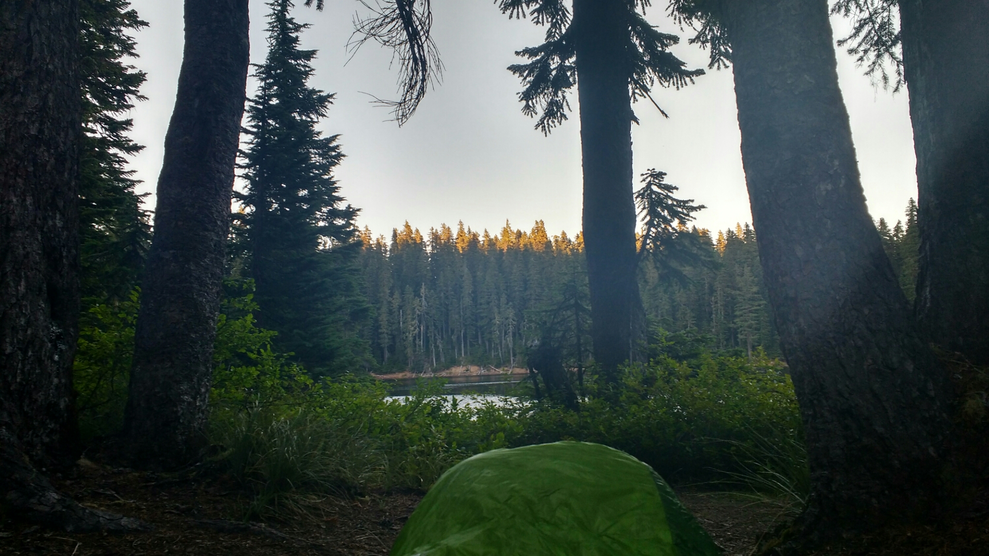
Warm, clean (except my clothes since laundry was only for guests and the most economical room that night was $275), and full, I sat in a comfy chair to do a quick internet check. It was hard to get up to back outside amd find a place to camp.

Day 110: Enchantment

Memories from August 8

Today was largely mist shrouded making everything more wondrous. Unfortunately, there were several spells of light rain as well. Despite the lack of direct sun, hiking produces enough warmth to dry any clothes on the body except socks so if it hadn’t been for the later drizzle, I would have been quite comfortable upon arriving at camp. As it turns out, I was comfortable anyways since my destination for the day was Olallie Lake Resort whose owner lets passers-by to sit by the stove in the store of her off the grid resort.

So spooky I could scare myself if I’d wanted to.


Most of Mount Adams.

Over the snow and into the fog the hiker tracks do go. Where do the go? Nobody knows! But follow them we wiiiill. (To the tune of Over the River and Through the Woods).

A cairn in the mist creates a wonderful sense of adventure. On a different trip, a friend and I once had to play Marco Polo to locate each other as we hunted for cairns to follow in a dense fog.

The water which collects on plants which has overgrown the trail gets deposited into the clothing of passing hikers. This is known as a hikerwash and is a much greater cause for discontentment than mist or rain.

Day 109: Washington (nope, not the state)

Memories from August 7

Today I hiked into the Presidential Range, mostly around Mount Washington. Over the course of the day, clouds rolled gradually in as I gained altitude. This added to the color of the valley with splotches of light and dark. Mt Washington itself was quite dramatic, sharp, dark, and frequently with a backdrop of clouds which appeared to be growing increasingly wrathful. I wound up choosing to pitch my tarp tonight which I haven’t done in some time as evidenced the new guy lines I bought in South Lake Tahoe still being in their original wrapping and not attached to my tarp.

Washington’s hat was not tri-cornered.

Clouds over the valley playing with light. There haven’t been many clouds since the Sierra but it really hasn’t been since the desert that there’s been a gentle enough landscape for the dappling effect to be prominent.

This side of the mountain appears suddenly as you make a U-turn at a saddle adding to the effect of its aggressive appearance.

Rockpile Lake. As evening wore on, tendrils of clouds would swirl downwards in a circular sweep like fingers plucking the water.

Day 108: Sisters and Presidents

Memories from August 6

I started today from a side trail to Elk Lake Resort as I hadn’t cared to make it all the way back to the PCT in the dark in case it would be hard to find a campsite.The trail was easy and pleasant, passing through mixed types of trees, small meadows, dry fields, and an occasional lake. One trail sign told me I was in the Sister’s Mirror Lake Area but none of the small lakes seemed to reflect a mountain as would be befitting the name given that the Sisters are a trio of mountains in the area. Part of what made today interesting was the diversity of environments through which I walked. In one area, obsidian flakes littered the ground and layers of obsidian ran through exposed rock. Towards afternoon, I crossed some sections of volcanic rock which were sometimes desolate and other times speckled with dry, white tree corpses beset near the ground with new growth. This lead up to a view of the Presidential Range which was the best view I’ve had in Oregon.
Shortly before crossing a highway, I ran across trail magic and so got a spaghetti dinner and met some southbound hikers. I wanted to keep moving and so hiked out at dusk so pancakes wouldn’t tempt me the next morning. Unfortunately, the only place I could find to camp was on the trail as dark fell while I was in a field of large pumice shards.

I assume this is one of the sisters for which this area is named. I’m not sure I clearly identified all three.

The rock on the left is littered with obsidian.

Obsidian stream doesn’t seem to contain much obsidian.

Old lava fields make for tough walking. I’d been warned that they would be hot late in the day and was relieved to find them cool (by which I mean the surrounding air temperature).

The Presidential Range. From left to right: Washington, Jefferson, and Adams.

By sunset.